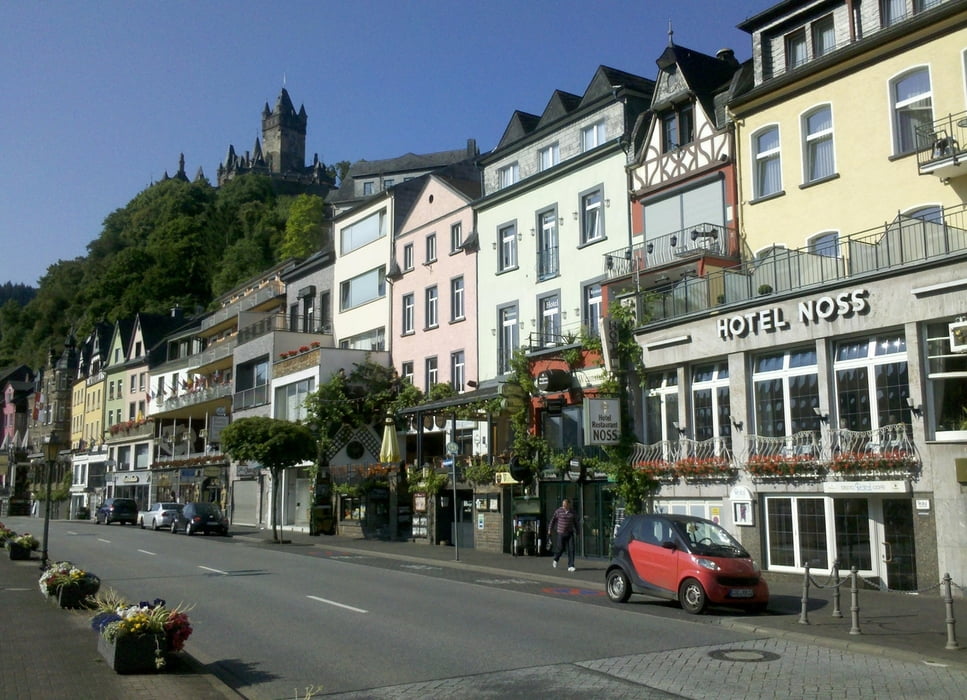
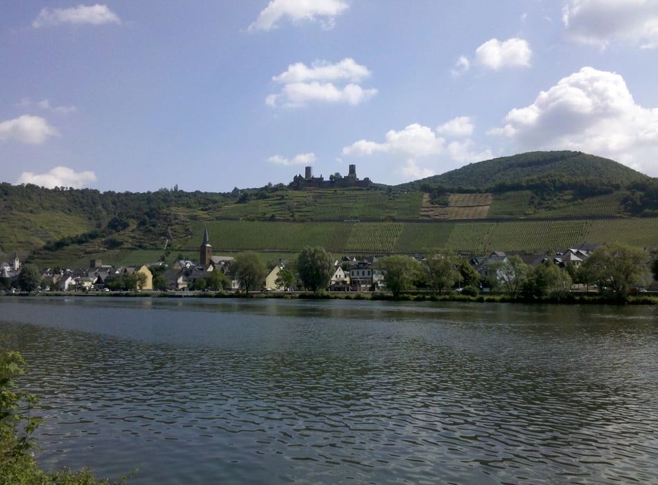
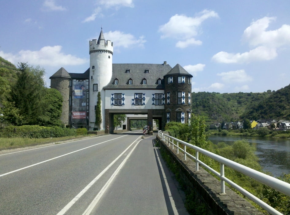
Vom Bahnhof Cochem geht es zuerst zu einem Rundgang durch die historische Altstadt. Linksrheinisch entlang der B 49 (getrennte Radspur) wird in Treis-Karden auf die rechte Moselseite gewechselt. Brodenbach Ortsdurchfahrt und bei Loef wieder Wechsel auf linke Uferseite. Auf Höhe Belltal den Radweg an der B 416 verlassen und nach Unterquerung der Bahnstrecke auf dem Moselradweg weitergefahren. In Koblenz-Güls wird die Mosel auf der Eisenbahnbrücke überquert. Durch Koblenz zum Deutschen Eck. Entlang der Rheinpromenade bis zum beschilderten Abzweig „Hbf“ und am Hauptbahnhof Koblenz die Tour beendet.
galéria trás
Mapa trasy a výškový profil
Minimum height 68 m
Maximum height 106 m
komentáre

GPS trasy
Trackpoints-
GPX / Garmin Map Source (gpx) download
-
TCX / Garmin Training Center® (tcx) download
-
CRS / Garmin Training Center® (crs) download
-
Google Earth (kml) download
-
G7ToWin (g7t) download
-
TTQV (trk) download
-
Overlay (ovl) download
-
Fugawi (txt) download
-
Kompass (DAV) Track (tk) download
-
list trasy (pdf) download
-
Original file of the author (gpx) download
Add to my favorites
Remove from my favorites
Edit tags
Open track
My score
Rate


