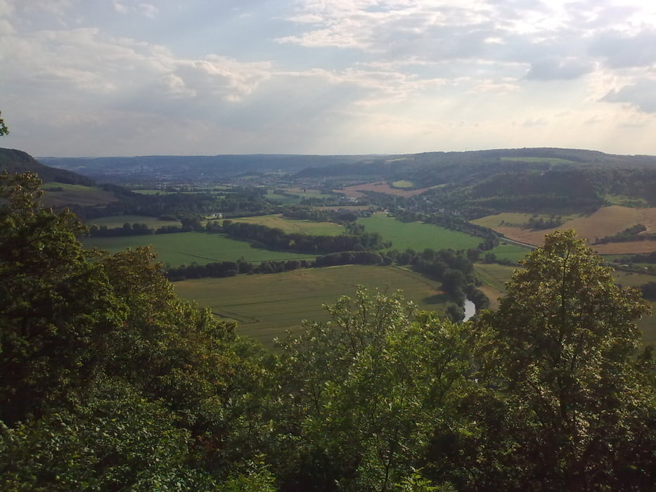
Vom Kaufland in Jena-Nord gehts nach Golmsdorf und nach der Auffahrt zur Hohen Lehde folgt ein langer schneller Trail der oft wenig Gefälle hat und zum mittreten einlädt. Danach gehts wieder nach oben zum Anfang des ersten Trails wobei diesmal in die Gegenrichtung gefahren wird. Dieser ist etwas schwieriger und steiler und läuft entlang einer Wiese aus. Der Sommer ist nicht die beste Zeit, da die Strecke im unteren Teil etwas eingewachsen ist.
Viel Spaß!
Mapa trasy a výškový profil
Minimum height 131 m
Maximum height 354 m
komentáre

GPS trasy
Trackpoints-
GPX / Garmin Map Source (gpx) download
-
TCX / Garmin Training Center® (tcx) download
-
CRS / Garmin Training Center® (crs) download
-
Google Earth (kml) download
-
G7ToWin (g7t) download
-
TTQV (trk) download
-
Overlay (ovl) download
-
Fugawi (txt) download
-
Kompass (DAV) Track (tk) download
-
list trasy (pdf) download
-
Original file of the author (gpx) download
Add to my favorites
Remove from my favorites
Edit tags
Open track
My score
Rate


