


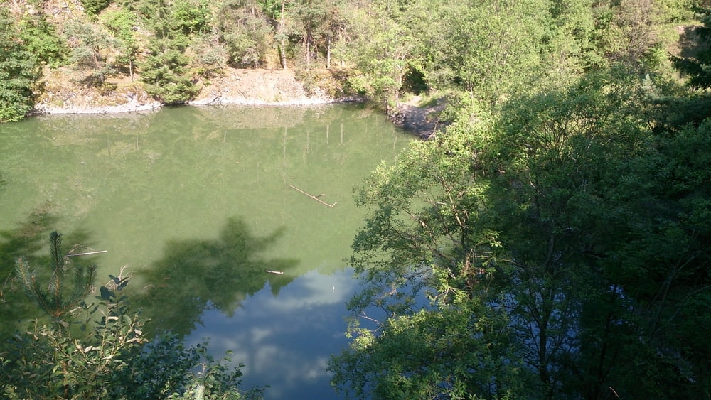
Diese Wanderung startet am Rhön park Hotel und führt uns zunächst zu dem Silbersee einem alten stillgelegten Basaltbruch.
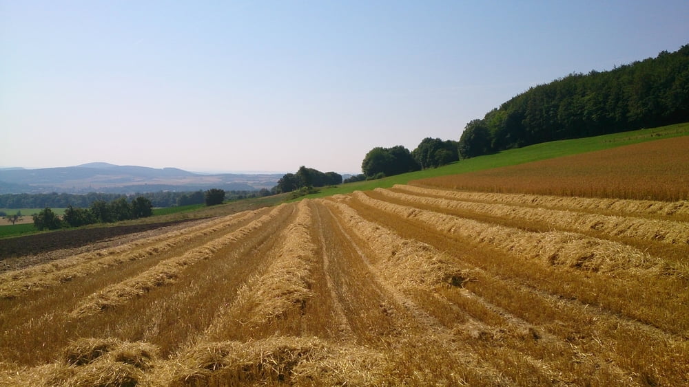
Von hier geht es Richtung Roth und über Feld und Flurwege geht es am Justus Brunnen vorbei Richtung Stetten.
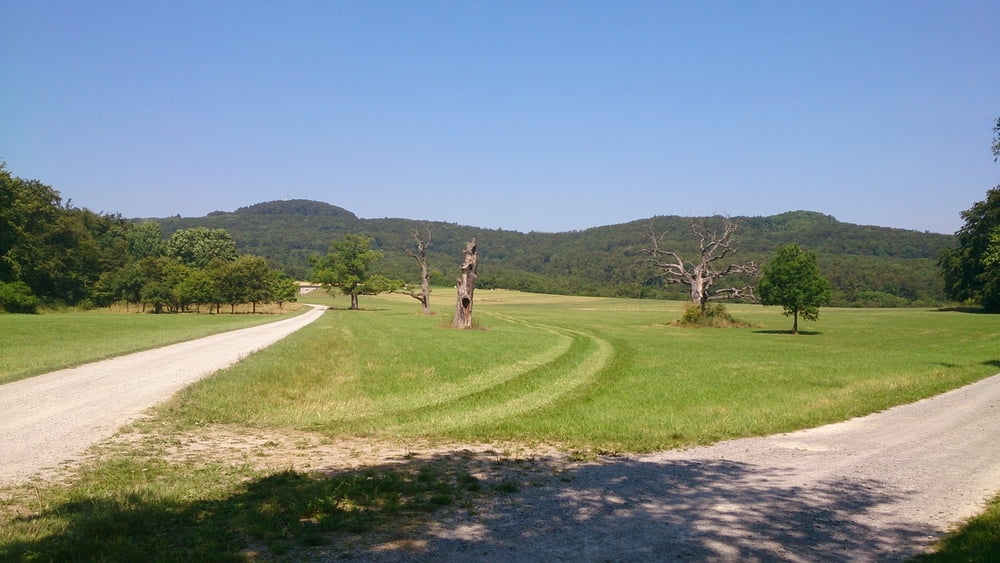
Nun folgen wir einen Feldweg der uns auf einen Radweg führt der von Stetten kommt.
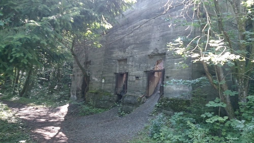
Nun geht es am Riethgraben vorbei und auf dem Rhönweg geht es wieder zurück zu der Rother kuppe.
galéria trás
Mapa trasy a výškový profil
Minimum height 401 m
Maximum height 650 m
More about the tour author
|
|
maffy |
komentáre

Rother Kuppe
Bischofsheim, Urspringen, Thüringesches Haus
GPS trasy
Trackpoints-
GPX / Garmin Map Source (gpx) download
-
TCX / Garmin Training Center® (tcx) download
-
CRS / Garmin Training Center® (crs) download
-
Google Earth (kml) download
-
G7ToWin (g7t) download
-
TTQV (trk) download
-
Overlay (ovl) download
-
Fugawi (txt) download
-
Kompass (DAV) Track (tk) download
-
list trasy (pdf) download
-
Original file of the author (gpx) download
More about the tour author
|
|
maffy |
Add to my favorites
Remove from my favorites
Edit tags
Open track
My score
Rate