Login

Zabudli ste prihlasovacia meno

Cookies have to be accepted!
Your browser's cookie functionality is disabled. Please enable this functionality.

Not a member yet?

Register now
Login

Available for registred users only

Log in to use this feature.

Zabudli ste prihlasovacia meno

Cookies have to be accepted!
Your browser's cookie functionality is disabled. Please enable this functionality.

Not a member yet?

Register now
Filter
Kategórie
Advanced filters
  • Dĺžka (km)
  • výškomer
Uložiť filter Reset filter

TrackRank

QRCode

Technical data

Dĺžka40,1 km výškomer768 m Way down805 m Doba03:30 h:m dátum21.07.2014
ohodnotenia Author Kraj pôžitok z túry kondícia technika

štatistika

257 náhľady ohodnotenia 25 Stiahnutia priemer
Rate
  • list trasy
  • príjazd
  • Stiahnutia
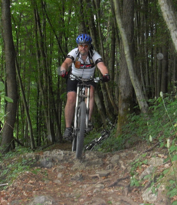
Schöne Runde mit Startpunkt an der  Bayrischen Schanz. Immer dem shwarzen B folgen. Beginn mit schönen Trail, dann immer wieder längere Forstwegpassagen. Am Kreuzungspunkt Eselsweg Richtung Süden zum schönen Wiesbütt-See. Von da an auf schönen Wald und Trailpassagen dem Schneewittchenweg folgen bis auf die Landstraße nach Frammersbach. Von da auf Radweg bis kurz vor Ziegelhütte. Schlussendlich  auf Bikeweg Nr. 7 hoch zur Schanz.

Mapa trasy a výškový profil

  • Open Street Map
  • Google
Minimum height 276 m Maximum height 620 m Detailný pohľad

More about the tour author

kamrehn
Member since 2010

Send private message

komentáre

GPS trasy

Trackpoints
  • GPX / Garmin Map Source (gpx) download
  • TCX / Garmin Training Center® (tcx) download
  • CRS / Garmin Training Center® (crs) download
  • Google Earth (kml) download
  • G7ToWin (g7t) download
  • TTQV (trk) download
  • Overlay (ovl) download
  • Fugawi (txt) download
  • Kompass (DAV) Track (tk) download
  • list trasy (pdf) download
  • Original file of the author (gpx) download

More about the tour author

kamrehn
Member since 2010

Send private message
Share track
Add to my favorites
Remove from my favorites
Edit tags
My score
Rate
trasa: Rund um Lohrhaupten
Druh: horský bicykel
Dĺžka: 40,1 km
Evaluated on:
Doba:
Day(s)
Hour(s)
Minute(s)
ohodnotenie: Kraj pôžitok z túry kondícia technika