
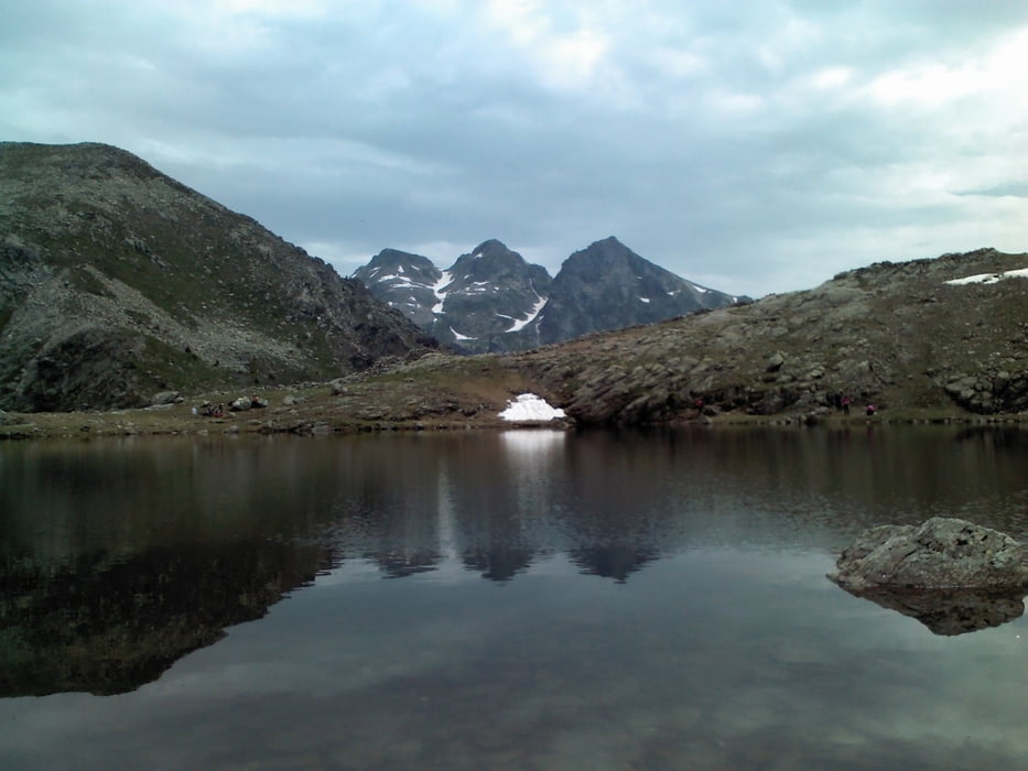

Tranquilla escursione che percorrere un sentiero suggestivo all’interno del gruppo del Lagorai, per una via che può portare fino al rifugio Brentari ed a cima d’Asta. Il percorso è lungo circa 10 chilometri compreso il ritorno, con un dislivello totale in salita di circa 496 metri. Partenza da Rifugio Malga Conseria.
Per maggiori informazioni visita il mio blog.
Further information at
http://www.stradasterrata.it/laghetto-di-forcella-magnagaléria trás


Mapa trasy a výškový profil
Minimum height 1850 m
Maximum height 2174 m
More about the tour author
|
|
agospaolo |
komentáre

Attenzione: In genere il tratto di strada che porta verso Rifugio malga Conseria è bloccato ai mezzi motorizzati, quindi è necessario partire da Ponte Conseria
GPS trasy
Trackpoints-
GPX / Garmin Map Source (gpx) download
-
TCX / Garmin Training Center® (tcx) download
-
CRS / Garmin Training Center® (crs) download
-
Google Earth (kml) download
-
G7ToWin (g7t) download
-
TTQV (trk) download
-
Overlay (ovl) download
-
Fugawi (txt) download
-
Kompass (DAV) Track (tk) download
-
list trasy (pdf) download
-
Original file of the author (gpx) download
More about the tour author
|
|
agospaolo |
Add to my favorites
Remove from my favorites
Edit tags
Open track
My score
Rate