Login

Zabudli ste prihlasovacia meno

Cookies have to be accepted!
Your browser's cookie functionality is disabled. Please enable this functionality.

Not a member yet?

Register now
Login

Available for registred users only

Log in to use this feature.

Zabudli ste prihlasovacia meno

Cookies have to be accepted!
Your browser's cookie functionality is disabled. Please enable this functionality.

Not a member yet?

Register now
Filter
Kategórie
Advanced filters
  • Dĺžka (km)
  • výškomer
Uložiť filter Reset filter

TrackRank

QRCode

Technical data

Dĺžka11,2 km výškomer414 m Way down385 m Doba03:00 h:m dátum04.08.2014
ohodnotenia Author Kraj pôžitok z túry kondícia technika

štatistika

645 náhľady ohodnotenia 47 Stiahnutia priemer
Rate
  • list trasy
  • príjazd
  • Stiahnutia

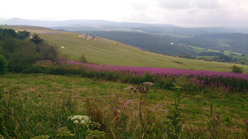
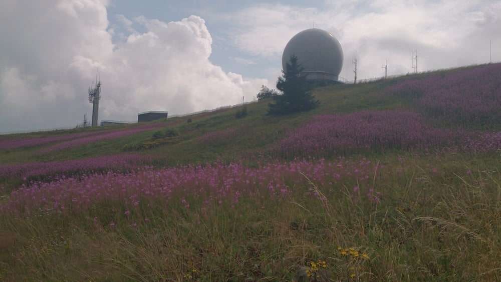
Diese Wanderung führt von der Wasserkuppe zum Fliegerdenkmal
und weiter auf dem Hochrhöner auf einen Pfad an der Abtsroda Kuppe vorbei
runter nach Abtsroda.

Nun geht es auf dem Fahrradweg nach Reulbach.

Am Sägewerk vorbei geht es nun wieder Richtung Schafstein und auf dem Panorama Weg mit Blick auf den Schafstein geht es wieder zurück zum Parkplatz.


galéria trás

Mapa trasy a výškový profil

  • Open Street Map
  • Google
Minimum height 578 m Maximum height 947 m Detailný pohľad

More about the tour author

maffy
Member since 2006

Send private message

komentáre

Gersfeld -  Wasserkuppe

Bischofsheim - Richtung Wüstensachsen

GPS trasy

Trackpoints
  • GPX / Garmin Map Source (gpx) download
  • TCX / Garmin Training Center® (tcx) download
  • CRS / Garmin Training Center® (crs) download
  • Google Earth (kml) download
  • G7ToWin (g7t) download
  • TTQV (trk) download
  • Overlay (ovl) download
  • Fugawi (txt) download
  • Kompass (DAV) Track (tk) download
  • list trasy (pdf) download
  • Original file of the author (gpx) download

More about the tour author

maffy
Member since 2006

Send private message
Share track
Add to my favorites
Remove from my favorites
Edit tags
My score
Rate
trasa: Wasserkuppe und Schafstein Blick
Druh: trasa
Dĺžka: 11,2 km
Evaluated on:
Doba:
Day(s)
Hour(s)
Minute(s)
ohodnotenie: Kraj pôžitok z túry kondícia technika