
")

Heilbronner Hütte-Kops Stausee-Ischgl-Idalpe-Viderjoch (2738m)-
Pfunds-Prutz
(Verwall, Samnaun/LA)
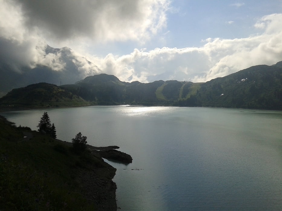
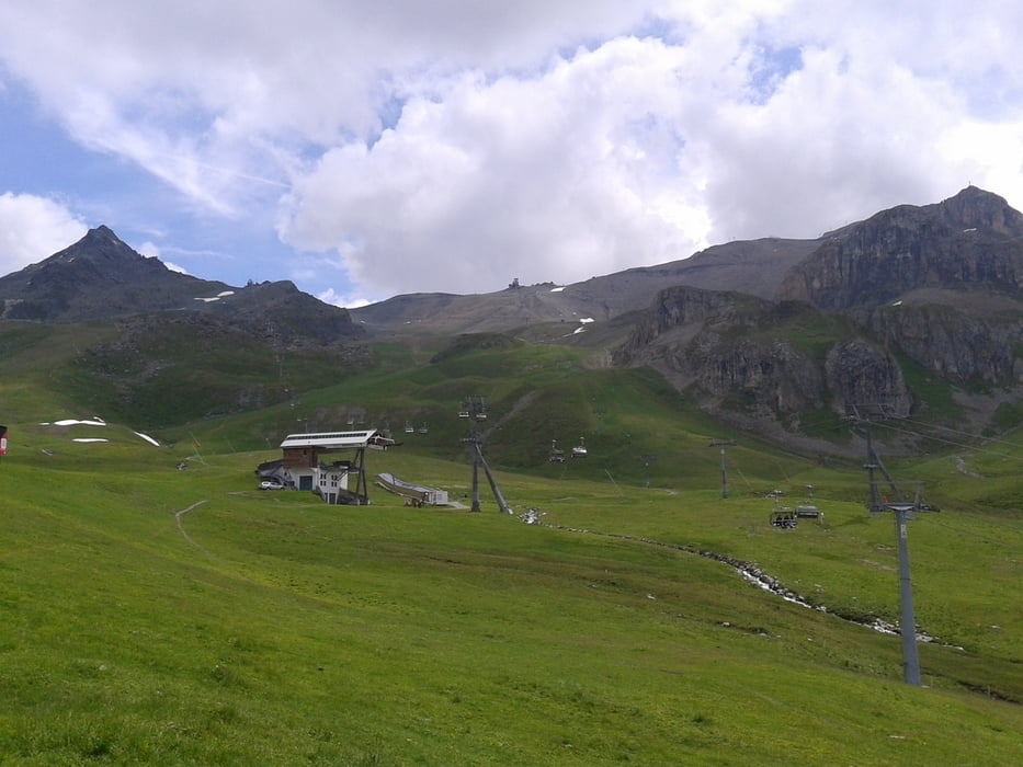
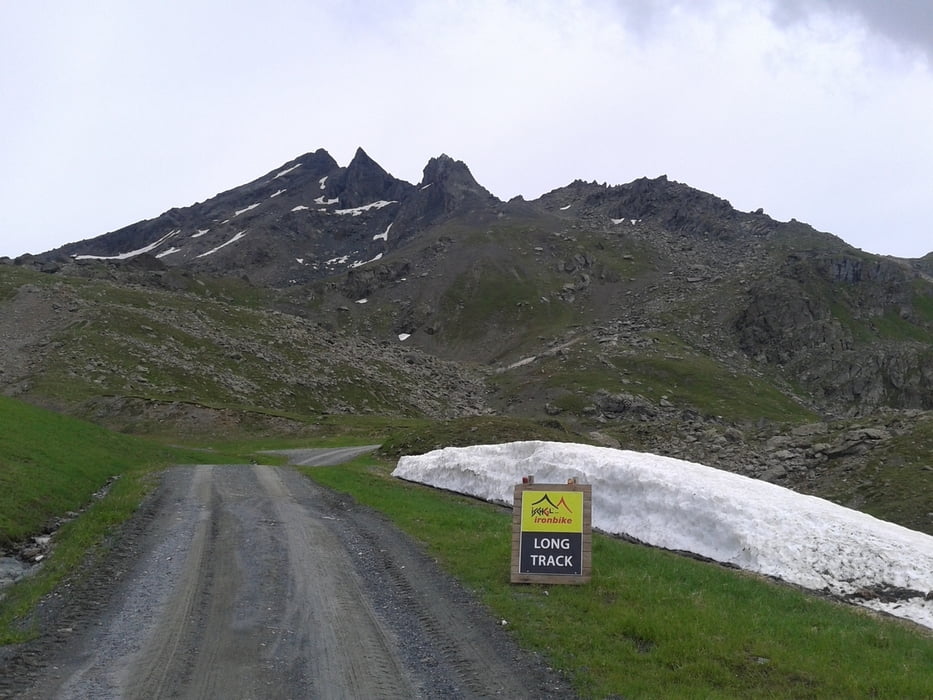
Endlich angenehmes Wetter. 2 lange Abfahrten und eine knackige Steigung auf das Dach der gesamten Tour (Viderjoch 2738m).
Ischgl mit seiner Tourismusindustrie ist schon gewöhnungsbedürftig, Aber die Gegend ist nichtsdestotrotz
sehr beeindruckend.
2000 hm hinunter haben es in sich!
Haus Marianne: NF 29€ - gut.Heilbronner Hütte-Kops Stausee-Ischgl-Idalpe-Viderjoch (2738m)-
Pfunds-Prutz
(Verwall, Samnaun/LA)
Endlich angenehmes Wetter. 2 lange Abfahrten und eine knackige Steigung auf das Dach der gesamten Tour (Viderjoch 2738m).
Ischgl mit seiner Tourismusindustrie ist schon gewöhnungsbedürftig, Aber die Gegend ist nichtsdestotrotz
sehr beeindruckend.
2000 hm hinunter haben es in sich!
Haus Marianne: NF 29€ - gut.
galéria trás
Mapa trasy a výškový profil
Minimum height 876 m
Maximum height 2721 m
More about the tour author
|
|
mitter |
komentáre

Start von der Heilbronner Hütte.
GPS trasy
Trackpoints-
GPX / Garmin Map Source (gpx) download
-
TCX / Garmin Training Center® (tcx) download
-
CRS / Garmin Training Center® (crs) download
-
Google Earth (kml) download
-
G7ToWin (g7t) download
-
TTQV (trk) download
-
Overlay (ovl) download
-
Fugawi (txt) download
-
Kompass (DAV) Track (tk) download
-
list trasy (pdf) download
-
Original file of the author (gpx) download
More about the tour author
|
|
mitter |
Add to my favorites
Remove from my favorites
Edit tags
Open track
My score
Rate