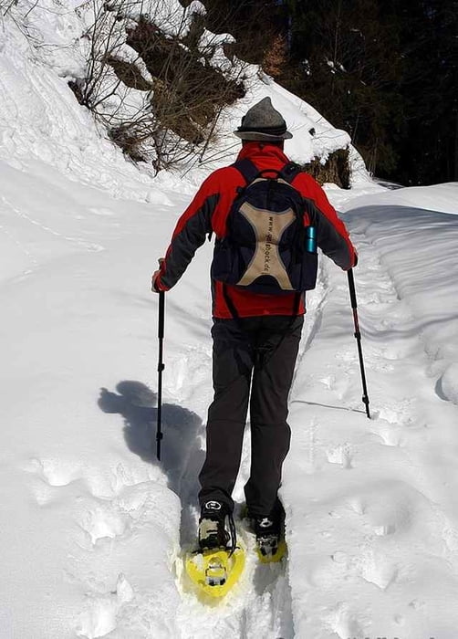
Winterwanderung von Steibis Schindelberg zur Alpe Vordere Fluh. Für diese Tour sind Grödel, oder bei viel Schnee, Schneeschuhe empfohlen. Einkehrmöglichkeit auf der Vorderen Fluhalpe und Alpe Hohenegg.
Further information at
http://www.vordere-fluh.degaléria trás
Mapa trasy a výškový profil
Minimum height 898 m
Maximum height 1191 m
komentáre

Oberstaufen- Steibis,Ortsanfang rechts vorbei am Hallenbad nach Schindelberg. Parkmöglichkeit im Bereich Skilift.
GPS trasy
Trackpoints-
GPX / Garmin Map Source (gpx) download
-
TCX / Garmin Training Center® (tcx) download
-
CRS / Garmin Training Center® (crs) download
-
Google Earth (kml) download
-
G7ToWin (g7t) download
-
TTQV (trk) download
-
Overlay (ovl) download
-
Fugawi (txt) download
-
Kompass (DAV) Track (tk) download
-
list trasy (pdf) download
-
Original file of the author (gpx) download
Add to my favorites
Remove from my favorites
Edit tags
Open track
My score
Rate

