Login

Zabudli ste prihlasovacia meno

Cookies have to be accepted!
Your browser's cookie functionality is disabled. Please enable this functionality.

Not a member yet?

Register now
Login

Available for registred users only

Log in to use this feature.

Zabudli ste prihlasovacia meno

Cookies have to be accepted!
Your browser's cookie functionality is disabled. Please enable this functionality.

Not a member yet?

Register now
Filter
Kategórie
Advanced filters
  • Dĺžka (km)
  • výškomer
Uložiť filter Reset filter

TrackRank

QRCode

Technical data

Dĺžka9,8 km výškomer552 m Way down562 m Doba03:00 h:m dátum16.08.2014
ohodnotenia Author Kraj pôžitok z túry kondícia technika

štatistika

267 náhľady ohodnotenia 9 Stiahnutia priemer
Rate
  • list trasy
  • príjazd
  • Stiahnutia
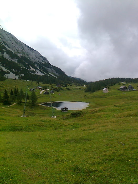
 Gyönyörű hely,még esőben is,viszont a vasalt út megmászását esős időben mellőzni kell,mert pokolian csúszik!Viszont a hinta miatt érdemes olyankor is elsétálni a kezdőpontra.

galéria trás

Mapa trasy a výškový profil

  • Open Street Map
  • Google
Minimum height 1561 m Maximum height 1959 m Detailný pohľad

More about the tour author

frontera74
Member since 2011

Send private message

komentáre

 Autóval olcsóbb feljutni a fennsíkra,mint felvonóval.

GPS trasy

Trackpoints
  • GPX / Garmin Map Source (gpx) download
  • TCX / Garmin Training Center® (tcx) download
  • CRS / Garmin Training Center® (crs) download
  • Google Earth (kml) download
  • G7ToWin (g7t) download
  • TTQV (trk) download
  • Overlay (ovl) download
  • Fugawi (txt) download
  • Kompass (DAV) Track (tk) download
  • list trasy (pdf) download
  • Original file of the author (gpx) download

More about the tour author

frontera74
Member since 2011

Send private message
Share track
Add to my favorites
Remove from my favorites
Edit tags
My score
Rate
trasa: Gambsblick-Tauplitzalm
Druh: sklon stúpania
Dĺžka: 9,8 km
Evaluated on:
Doba:
Day(s)
Hour(s)
Minute(s)
ohodnotenie: Kraj pôžitok z túry kondícia technika