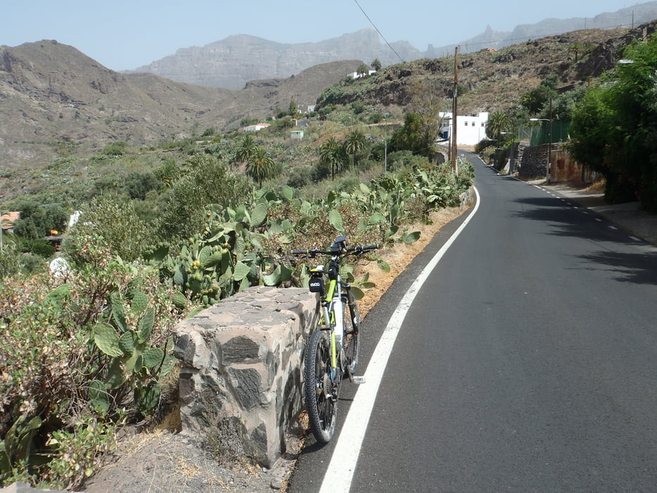
Die Tour kann man auch in zwei kleiner Touren aufteilen: Den von San Barolomé östlichen Teil: Risco Blanco, und den von San Barolomé westlichen Teilo: Cuz Grande
Zuerst geht es von San Barolomé die Hauptstraße bis zur Abzweigung noch vor Santa Lucía hinunter, dann auf schmalen Asphaltstraßen fast ohne Verkehr leicht hinauf nach Risco Blanco, über den Pass Lomo de Vera und weiter bis El Sequero, wo es direkt an der Kreuzung mit der Hauptstraße eine nette Pizzaria gibt. Dann entweder zurück nach San Barolomé oder rechts die Hauptstraße zum Paso de la Herradura hinauf.
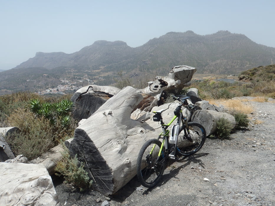
Von dort exzellent hergerichtete Forststraßen bis zum Pass Degollada de la Manzanilla. Tolle Aussicht!
Jetzt leider sehr steiler Trail bergab (lange Schiebestrecke) mit Stufen (Wasserrinnen)! Sehr ausgesetzter Trail mit phantascher Aussicht.
galéria trás
Mapa trasy a výškový profil
komentáre

Mit Leihwagen nach San Barolomé, von Süden kommend durch den Ort durchfahren, am Nordende gibt es einen großen Gratisparkplatz.
In San Barolomé verfährt man sich gerne: Auf Krte oder Navi Ausgangspunkt markieren, so findet man leichter zurück.
GPS trasy
Trackpoints-
GPX / Garmin Map Source (gpx) download
-
TCX / Garmin Training Center® (tcx) download
-
CRS / Garmin Training Center® (crs) download
-
Google Earth (kml) download
-
G7ToWin (g7t) download
-
TTQV (trk) download
-
Overlay (ovl) download
-
Fugawi (txt) download
-
Kompass (DAV) Track (tk) download
-
list trasy (pdf) download
-
Original file of the author (gpx) download


