Login

Zabudli ste prihlasovacia meno

Cookies have to be accepted!
Your browser's cookie functionality is disabled. Please enable this functionality.

Not a member yet?

Register now
Login

Available for registred users only

Log in to use this feature.

Zabudli ste prihlasovacia meno

Cookies have to be accepted!
Your browser's cookie functionality is disabled. Please enable this functionality.

Not a member yet?

Register now
Filter
Kategórie
Advanced filters
  • Dĺžka (km)
  • výškomer
Uložiť filter Reset filter

TrackRank

QRCode

Technical data

Dĺžka14,2 km výškomer948 m Way down642 m Doba00:00 h:m dátum24.02.2008
ohodnotenia Author Kraj pôžitok z túry kondícia technika

štatistika

1084 náhľady ohodnotenia 93 Stiahnutia priemer
Rate
  • list trasy
  • príjazd
  • Stiahnutia
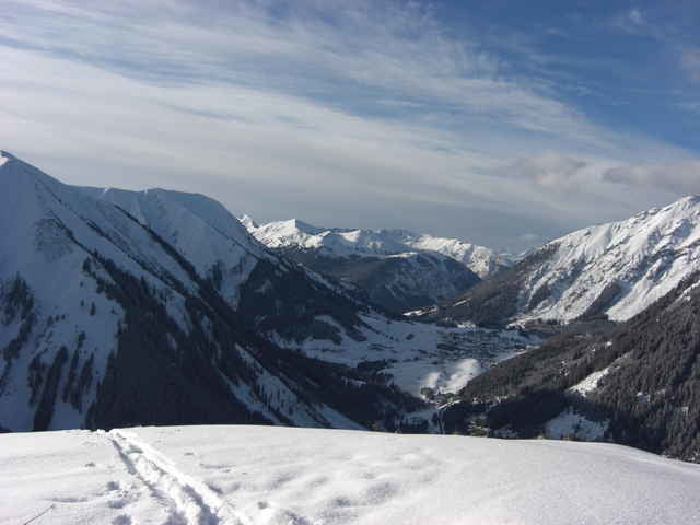
von Reutte Richtung Bichlbach ,nach Berwang ca. 500m nach der Kreuzung Links alter Lift Trasse eine relativ sichere Tour.

Mapa trasy a výškový profil

  • Open Street Map
  • Google
Minimum height 789 m Maximum height 2214 m Detailný pohľad

More about the tour author

Ossi
Member since 2006

Send private message

komentáre

GPS trasy

Trackpoints
  • GPX / Garmin Map Source (gpx) download
  • TCX / Garmin Training Center® (tcx) download
  • CRS / Garmin Training Center® (crs) download
  • Google Earth (kml) download
  • G7ToWin (g7t) download
  • TTQV (trk) download
  • Overlay (ovl) download
  • Fugawi (txt) download
  • Kompass (DAV) Track (tk) download
  • list trasy (pdf) download
  • Original file of the author (gpx) download

More about the tour author

Ossi
Member since 2006

Send private message
Share track
Add to my favorites
Remove from my favorites
Edit tags
My score
Rate
trasa: Mühlwaldköpfl
Druh: lyže
Dĺžka: 14,2 km
Evaluated on:
Doba:
Day(s)
Hour(s)
Minute(s)
ohodnotenie: Kraj pôžitok z túry kondícia technika