Login

Zabudli ste prihlasovacia meno

Cookies have to be accepted!
Your browser's cookie functionality is disabled. Please enable this functionality.

Not a member yet?

Register now
Login

Available for registred users only

Log in to use this feature.

Zabudli ste prihlasovacia meno

Cookies have to be accepted!
Your browser's cookie functionality is disabled. Please enable this functionality.

Not a member yet?

Register now
Filter
Kategórie
Advanced filters
  • Dĺžka (km)
  • výškomer
Uložiť filter Reset filter

TrackRank

QRCode

Technical data

Dĺžka9,5 km výškomer143 m Way down74 m Doba02:00 h:m dátum28.09.2014
ohodnotenia Author Kraj pôžitok z túry kondícia technika

štatistika

1585 náhľady ohodnotenia 56 Stiahnutia priemer
Rate
  • list trasy
  • príjazd
  • Stiahnutia
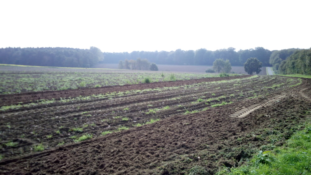
Leichte Rundwanderung um Lavesum. Teils geht es über Waldwege und teils über landwirtschaftliche Wirtschaftswege.

Further information at

http://www.lavesum.de/

galéria trás

Mapa trasy a výškový profil

  • Open Street Map
  • Google
Minimum height -1 m Maximum height 82 m Detailný pohľad

More about the tour author

lahnwinni
Member since 2013

Send private message

komentáre

Aus Richtung Reken kommend zwiegt man an der Kreuzung Granatstraße / Rekener Straße links Richtung Lavesum (Autobahn)ab.
Auf der rechten Seite kommt nach ca.3 km der Hofladen Hagedorn.
Dort haben wir geparkt und gleichzeitig noch leckere Sachen eingekauft.


GPS trasy

Trackpoints
  • GPX / Garmin Map Source (gpx) download
  • TCX / Garmin Training Center® (tcx) download
  • CRS / Garmin Training Center® (crs) download
  • Google Earth (kml) download
  • G7ToWin (g7t) download
  • TTQV (trk) download
  • Overlay (ovl) download
  • Fugawi (txt) download
  • Kompass (DAV) Track (tk) download
  • list trasy (pdf) download
  • Original file of the author (gpx) download

More about the tour author

lahnwinni
Member since 2013

Send private message
Share track
Add to my favorites
Remove from my favorites
Edit tags
My score
Rate
trasa: Lavesum Rundwanderung
Druh: trasa
Dĺžka: 9,5 km
Evaluated on:
Doba:
Day(s)
Hour(s)
Minute(s)
ohodnotenie: Kraj pôžitok z túry kondícia technika