


Von Waldniel über Ungerath nach Rickelrath. Von dort Richtung Dalheim-Rödgen und über Lüttelforst wieder nach Waldniel
galéria trás


Mapa trasy a výškový profil
Minimum height 45 m
Maximum height 92 m
More about the tour author
|
|
astone |
komentáre
Start und Ziel ist die Kastanienallee in Waldniel
GPS trasy
Trackpoints-
GPX / Garmin Map Source (gpx) download
-
TCX / Garmin Training Center® (tcx) download
-
CRS / Garmin Training Center® (crs) download
-
Google Earth (kml) download
-
G7ToWin (g7t) download
-
TTQV (trk) download
-
Overlay (ovl) download
-
Fugawi (txt) download
-
Kompass (DAV) Track (tk) download
-
list trasy (pdf) download
-
Original file of the author (gpx) download
More about the tour author
|
|
astone |
Add to my favorites
Remove from my favorites
Edit tags
Open track
My score
Rate
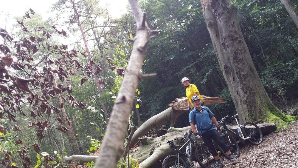
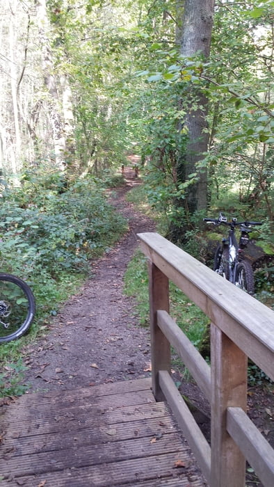
Nette Runde
Technisch für jedermann machbar; im Prinzip auch mit dem Trekking-Rad machbar.
Es geht hauptsächlich auf Wald- und Forstwegen sowie auf einfachen Trails.
Keine schwierigen Steigungen.