

Grandiose Tour. Für mich eine der schönsten Korsikas.
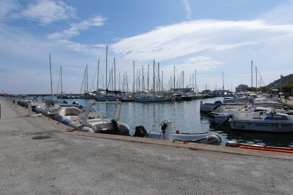
Start in Macinaggio. Parken kein Problem. Rundtour im Uhrzeigersinn. Überwiegend Trail und Karrenwege. Wenig Strasse.
Wichtige Hinweise: in Magna Suprana vor dem Ortseingang scharf rechts die Strasse hinauf, dann in den Ort hinein. Bike über diverse Treppen schieben/ tragen, kein Problem. Anschließend den Trail an der Mauer entlang bis Vignale. Nach dem alten Kloster schwieriges Auffinden des Karrenwegs, da er anfangs über kleine Grasparzellen verläuft. Wenn man dem GPS folgt, sollte es aber kein Problem sein. In Poggio zwischen den Häusern auf alten steinigen Pfad bergab. Diesen steinigen Pfad steil bergab folgen an div. Ruinen vorbei, teilweise im unteren Bereich schwierige Erkennung des Pfads. Möglichst immer auf Wegepunkt 18,26 zuhalten. Von dort super Trail bis zur Strasse nacn Barcaggio. Alles weitere ist gut zu finden, wenn man dem GPS folgt.
galéria trás


Mapa trasy a výškový profil
Minimum height 4 m
Maximum height 523 m
More about the tour author
|
|
cardio220260 |
komentáre

Über die D 80 nach Macinaggio.
GPS trasy
Trackpoints-
GPX / Garmin Map Source (gpx) download
-
TCX / Garmin Training Center® (tcx) download
-
CRS / Garmin Training Center® (crs) download
-
Google Earth (kml) download
-
G7ToWin (g7t) download
-
TTQV (trk) download
-
Overlay (ovl) download
-
Fugawi (txt) download
-
Kompass (DAV) Track (tk) download
-
list trasy (pdf) download
-
Original file of the author (gpx) download
More about the tour author
|
|
cardio220260 |
Add to my favorites
Remove from my favorites
Edit tags
Open track
My score
Rate