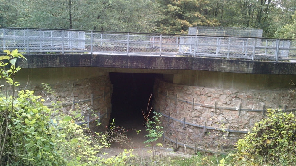
Rundtour um Walheim (bei Aachen).
Start Ziel ist der parkplatz Freizeitgelände Walheim.
Von dort folgen wir erst einmal dem Eifelsteig in Richtung Kornelimünster.
Hinter der Brücke an der Mündung "Inde / Interbach" verlassen wir den Eifelsteig, und wandern grob dem Interbach entgegen bis nach Walheim und weiter zum Ausgangspunkt (Freizeitgelände Walheim)
galéria trás
Mapa trasy a výškový profil
Minimum height 228 m
Maximum height 293 m
komentáre

GPS trasy
Trackpoints-
GPX / Garmin Map Source (gpx) download
-
TCX / Garmin Training Center® (tcx) download
-
CRS / Garmin Training Center® (crs) download
-
Google Earth (kml) download
-
G7ToWin (g7t) download
-
TTQV (trk) download
-
Overlay (ovl) download
-
Fugawi (txt) download
-
Kompass (DAV) Track (tk) download
-
list trasy (pdf) download
-
Original file of the author (gpx) download
Add to my favorites
Remove from my favorites
Edit tags
Open track
My score
Rate


