

Eine sehr interessante und abwechslungsreiche Strecke.
Bitte im Uhrzeigersinn fahren. Gestartet sind wir am PKW Parkplatz Forellenhof/Gaisbach. Von hier geht es schön gemütlich das schöne Oostal hoch in Richtung Steimersacker. Ab Steimersacker wird es mal kurz knackig steil mit bis zu 21% Steigung. Gutes Training für die Oberschenkel. Danach folgt die gemütliche Abfahrt in Richtung Riesenbrunnenweg. Dort noch einmal ca. 100 Höhenmeter bergauf, bevor wir dann auch bald auf der Harderstrasse in Richtung Bussackerhütte fahren. Rechts ab in Richtung Oberbeuern treffen wir auf den Panoramaweg, der uns direkt hinter die Forellenzucht führt.
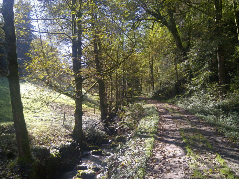
galéria trás


Mapa trasy a výškový profil
Minimum height 247 m
Maximum height 608 m
More about the tour author

|
thheinz |
komentáre

GPS trasy
Trackpoints-
GPX / Garmin Map Source (gpx) download
-
TCX / Garmin Training Center® (tcx) download
-
CRS / Garmin Training Center® (crs) download
-
Google Earth (kml) download
-
G7ToWin (g7t) download
-
TTQV (trk) download
-
Overlay (ovl) download
-
Fugawi (txt) download
-
Kompass (DAV) Track (tk) download
-
list trasy (pdf) download
-
Original file of the author (gpx) download
More about the tour author
|
|
thheinz |
Add to my favorites
Remove from my favorites
Edit tags
Open track
My score
Rate