


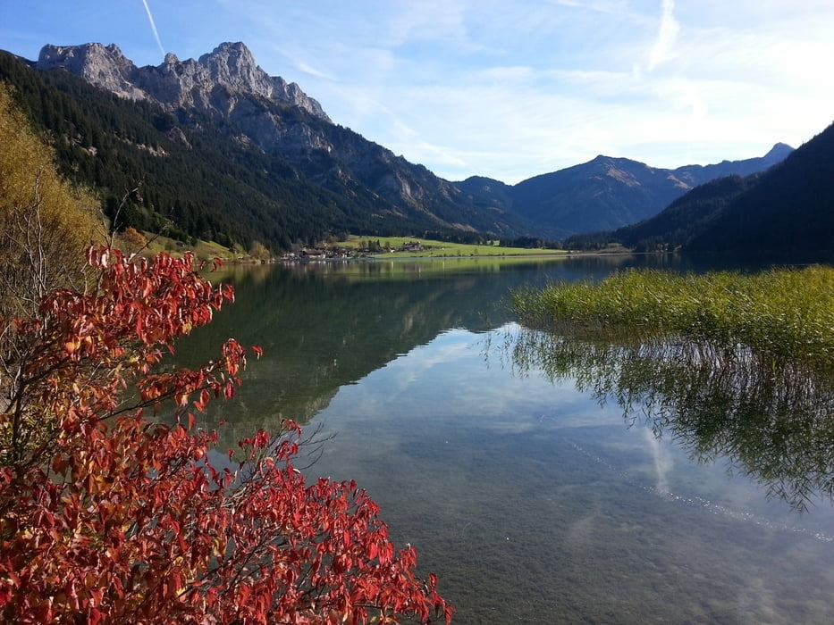
Diese Tour startet in Tannheim in Richtung Haldensee, an dem wir auf der nördliche Seite ( der Sonne wegen) bis zur Auffahrt zur Gaststätte „Adlerhorst“ folgen. Jetzt wird es ein wenig anstrengend: ca. 190 Höhenmeter sind nun auf einer breiten Forststraße zurück zu legen. Oben angekommen werden wir mit einem tollen Ausblick über das Tannheimer Tal und den Haldensee sowie mit einer leckeren Brotzeit belohnt.
Mit Genuss machen wir uns nun auf die entspannte Rückfahrt über die Ortschaft Nesselwängle, an Grän vorbei wieder nach Tannheim.
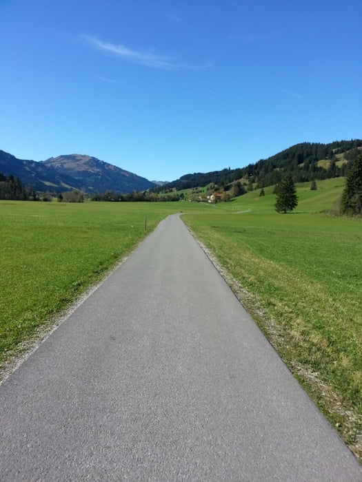
Diese Tour verläuft ausschließlich auf Rad und Forstwegen.
Viel Spaß
galéria trás


Mapa trasy a výškový profil
Minimum height 1048 m
Maximum height 1321 m
More about the tour author
|
|
volker67 |
komentáre

GPS trasy
Trackpoints-
GPX / Garmin Map Source (gpx) download
-
TCX / Garmin Training Center® (tcx) download
-
CRS / Garmin Training Center® (crs) download
-
Google Earth (kml) download
-
G7ToWin (g7t) download
-
TTQV (trk) download
-
Overlay (ovl) download
-
Fugawi (txt) download
-
Kompass (DAV) Track (tk) download
-
list trasy (pdf) download
-
Original file of the author (gpx) download
More about the tour author
|
|
volker67 |
Add to my favorites
Remove from my favorites
Edit tags
Open track
My score
Rate