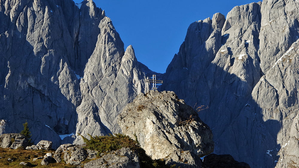
Wunderschöne Wanderung im Hochkönig Gebiet. (Mühlbach am Hochkönig) Wir wandern entlang der Mandelwände bis zur Vierhüttenalm, machen eine kleine Runde und gehen an diesem majästetischem Hochgebirgszug wieder zurück zum Ausgangspunkt , dem Arthurhaus.
Weitere Bilder und Informationen erhalten Sie HIER
Further information at
http://www.satcom.at/hochkoenig/galéria trás
Mapa trasy a výškový profil
Minimum height 1318 m
Maximum height 1552 m
komentáre

Von Mühlbach am Hochkönig fahren Sie hinauf zum Arthurhaus. Dort befinden sich dann genügend Parkplätze.
GPS trasy
Trackpoints-
GPX / Garmin Map Source (gpx) download
-
TCX / Garmin Training Center® (tcx) download
-
CRS / Garmin Training Center® (crs) download
-
Google Earth (kml) download
-
G7ToWin (g7t) download
-
TTQV (trk) download
-
Overlay (ovl) download
-
Fugawi (txt) download
-
Kompass (DAV) Track (tk) download
-
list trasy (pdf) download
-
Original file of the author (gpx) download
Add to my favorites
Remove from my favorites
Edit tags
Open track
My score
Rate


