Login

Zabudli ste prihlasovacia meno

Cookies have to be accepted!
Your browser's cookie functionality is disabled. Please enable this functionality.

Not a member yet?

Register now
Login

Available for registred users only

Log in to use this feature.

Zabudli ste prihlasovacia meno

Cookies have to be accepted!
Your browser's cookie functionality is disabled. Please enable this functionality.

Not a member yet?

Register now
Filter
Kategórie
Advanced filters
  • Dĺžka (km)
  • výškomer
Uložiť filter Reset filter

TrackRank

QRCode

Technical data

Dĺžka38,4 km výškomer155 m Way down104 m Doba02:10 h:m dátum23.11.2014
ohodnotenia Author Kraj pôžitok z túry kondícia technika

štatistika

399 náhľady ohodnotenia 35 Stiahnutia priemer
Rate
  • list trasy
  • príjazd
  • Stiahnutia


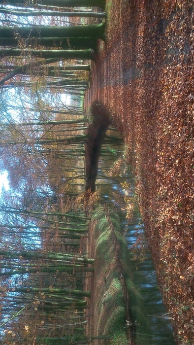
Schöne Touf auf Feld  Wald und Wiesenwegen mit einem geringen Anteil auf Asphalt,.Die Tour startet am Alfsee  dort kann man gut parken.Zuerst geht es am Deich Richtung Heeke dann auf Waldwegen nach Malgarten und dann zurück zum Alfsee..Man fährt viel an Flussläufen entlang

An der Strecke liegen die Klöster Lage und Malgarten dort gibt es auch Gastronomie


galéria trás

Mapa trasy a výškový profil

  • Open Street Map
  • Google
Minimum height -19 m Maximum height 49 m Detailný pohľad

More about the tour author

urmeleumel
Member since 2012

Send private message

komentáre

Von derB 68 in Alfhausen Richtung Alfsee( Ist ausgeschildert) denn Richtung Camping dort gibt es Parkplätze

GPS trasy

Trackpoints
  • GPX / Garmin Map Source (gpx) download
  • TCX / Garmin Training Center® (tcx) download
  • CRS / Garmin Training Center® (crs) download
  • Google Earth (kml) download
  • G7ToWin (g7t) download
  • TTQV (trk) download
  • Overlay (ovl) download
  • Fugawi (txt) download
  • Kompass (DAV) Track (tk) download
  • list trasy (pdf) download
  • Original file of the author (gpx) download

More about the tour author

urmeleumel
Member since 2012

Send private message
Share track
Add to my favorites
Remove from my favorites
Edit tags
My score
Rate
trasa: BOB Biken ohne Berge
Druh: horský bicykel
Dĺžka: 38,4 km
Evaluated on:
Doba:
Day(s)
Hour(s)
Minute(s)
ohodnotenie: Kraj pôžitok z túry kondícia technika