Login

Zabudli ste prihlasovacia meno

Cookies have to be accepted!
Your browser's cookie functionality is disabled. Please enable this functionality.

Not a member yet?

Register now
Login

Available for registred users only

Log in to use this feature.

Zabudli ste prihlasovacia meno

Cookies have to be accepted!
Your browser's cookie functionality is disabled. Please enable this functionality.

Not a member yet?

Register now
Filter
Kategórie
Advanced filters
  • Dĺžka (km)
  • výškomer
Uložiť filter Reset filter

TrackRank

QRCode

Technical data

Dĺžka7,1 km výškomer95 m Way down110 m Doba01:15 h:m dátum28.12.2014
ohodnotenia Author Kraj pôžitok z túry kondícia technika

štatistika

323 náhľady ohodnotenia 5 Stiahnutia priemer
Rate
  • list trasy
  • príjazd
  • Stiahnutia

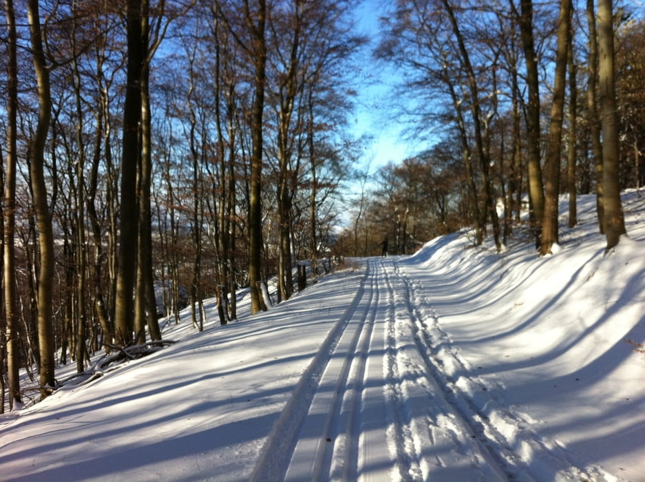
Die Rundtour kann man entweder an der Kittelhütte oder am Roten Kreuz starten. Es gibt 2 steilere Abfahrten und einen steilen Aufstieg. Der Weg von der Kittelhütte aus zum Zacken liegt bei Sonnenschein wunderbar in der Sonne.


galéria trás

Mapa trasy a výškový profil

  • Open Street Map
  • Google
Minimum height 499 m Maximum height 593 m Detailný pohľad

More about the tour author

sonnysurf

komentáre

GPS trasy

Trackpoints
  • GPX / Garmin Map Source (gpx) download
  • TCX / Garmin Training Center® (tcx) download
  • CRS / Garmin Training Center® (crs) download
  • Google Earth (kml) download
  • G7ToWin (g7t) download
  • TTQV (trk) download
  • Overlay (ovl) download
  • Fugawi (txt) download
  • Kompass (DAV) Track (tk) download
  • list trasy (pdf) download
  • Original file of the author (gpx) download

More about the tour author

sonnysurf

Share track
Add to my favorites
Remove from my favorites
Edit tags
My score
Rate
trasa: Kittelhütte-Rotes Kreuz Rundtour 2
Druh: beh na dlhe trate
Dĺžka: 7,1 km
Evaluated on:
Doba:
Day(s)
Hour(s)
Minute(s)
ohodnotenie: Kraj pôžitok z túry kondícia technika