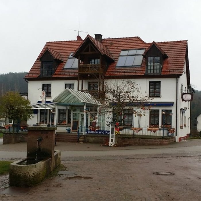
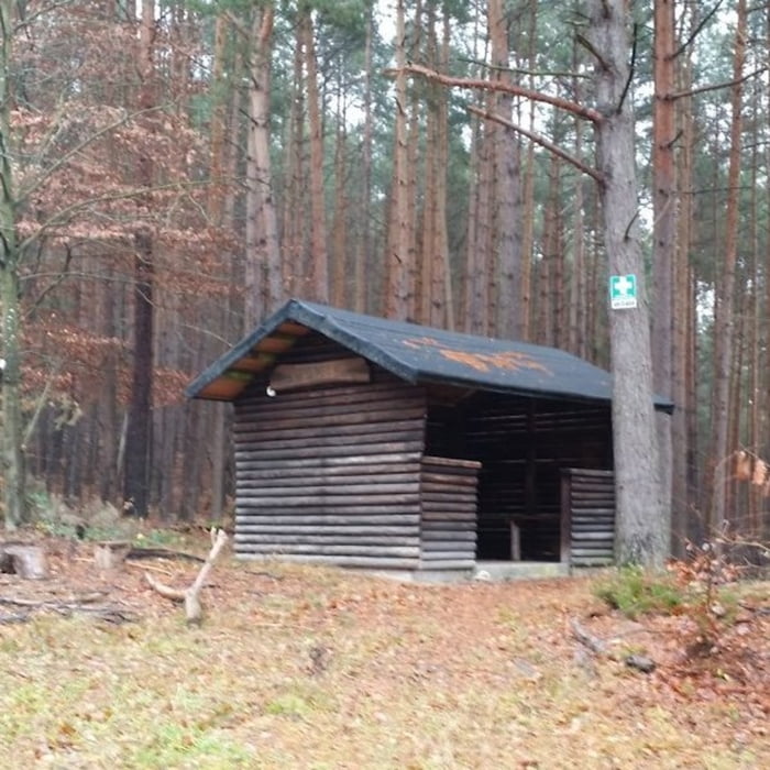
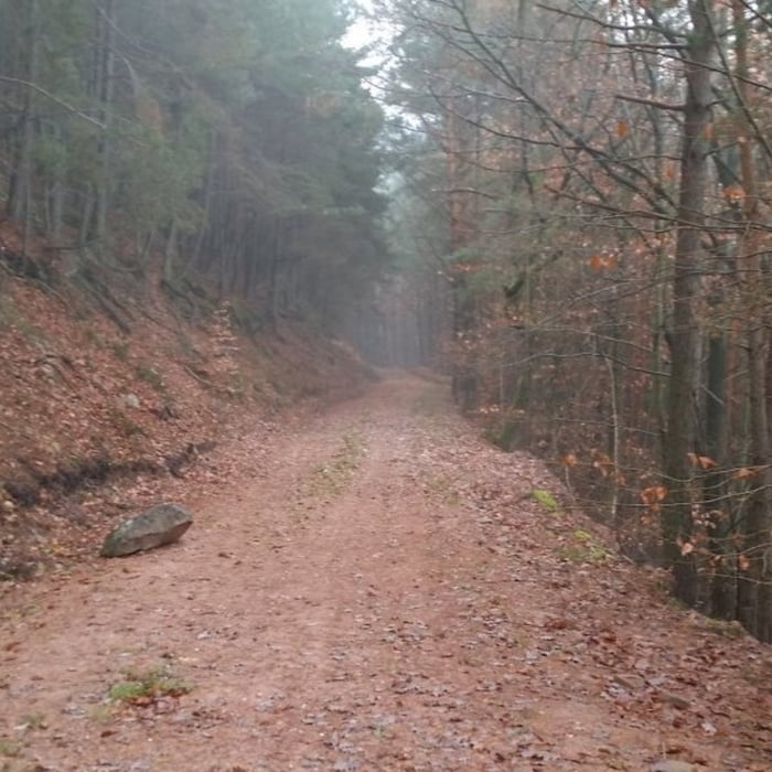
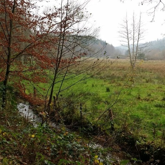
Startpunkt der Tour ist ein Parkplatz beim Landgasthaus Wegelnburg. Auf Wald- und Forstwirtschaftswegen führt die Strecke ohne größere Steigungen von Nothweiler aus zunächst im Woogbachtal nach Bobenthal und anschließend im Wieslautertal und entlang der Kreisstraße 46 zurück zum Ausgangspunkt.
galéria trás
Mapa trasy a výškový profil
Minimum height 95 m
Maximum height 372 m
komentáre

GPS trasy
Trackpoints-
GPX / Garmin Map Source (gpx) download
-
TCX / Garmin Training Center® (tcx) download
-
CRS / Garmin Training Center® (crs) download
-
Google Earth (kml) download
-
G7ToWin (g7t) download
-
TTQV (trk) download
-
Overlay (ovl) download
-
Fugawi (txt) download
-
Kompass (DAV) Track (tk) download
-
list trasy (pdf) download
-
Original file of the author (gpx) download
Add to my favorites
Remove from my favorites
Edit tags
Open track
My score
Rate


