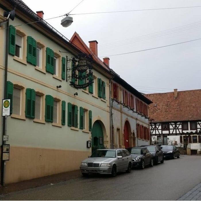
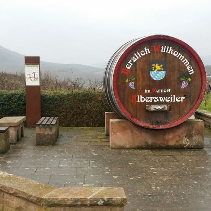
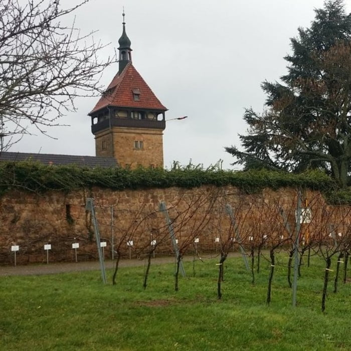
Startpunkt der Tour ist ein Parkplatz mitten in Frankweiler. Dies ist eine gemütliche Wanderung die auf gut befestigten Wegen zunächst auf dem Schmunzelweg und anschließend auf dem Weinlehrpfad der Bundesforschungsanstalt Geilweilerhof verläuft. Die Strecke führt um den Hübelberg herum und fällt zunächst bis etwa zur Hälfte leicht ab und steigt dann wieder bis zum Ziel leicht an.
galéria trás
Mapa trasy a výškový profil
Minimum height 157 m
Maximum height 266 m
komentáre

GPS trasy
Trackpoints-
GPX / Garmin Map Source (gpx) download
-
TCX / Garmin Training Center® (tcx) download
-
CRS / Garmin Training Center® (crs) download
-
Google Earth (kml) download
-
G7ToWin (g7t) download
-
TTQV (trk) download
-
Overlay (ovl) download
-
Fugawi (txt) download
-
Kompass (DAV) Track (tk) download
-
list trasy (pdf) download
-
Original file of the author (gpx) download
Add to my favorites
Remove from my favorites
Edit tags
Open track
My score
Rate


