

Ausgangspunkt ist der Parkplatz in Waidring (Talstation zur Gondelbahn Steinplatte). Mit der Gondelbahn geht es zur Bergstation. Die Räder Werden in der Gondel mitgenommen.
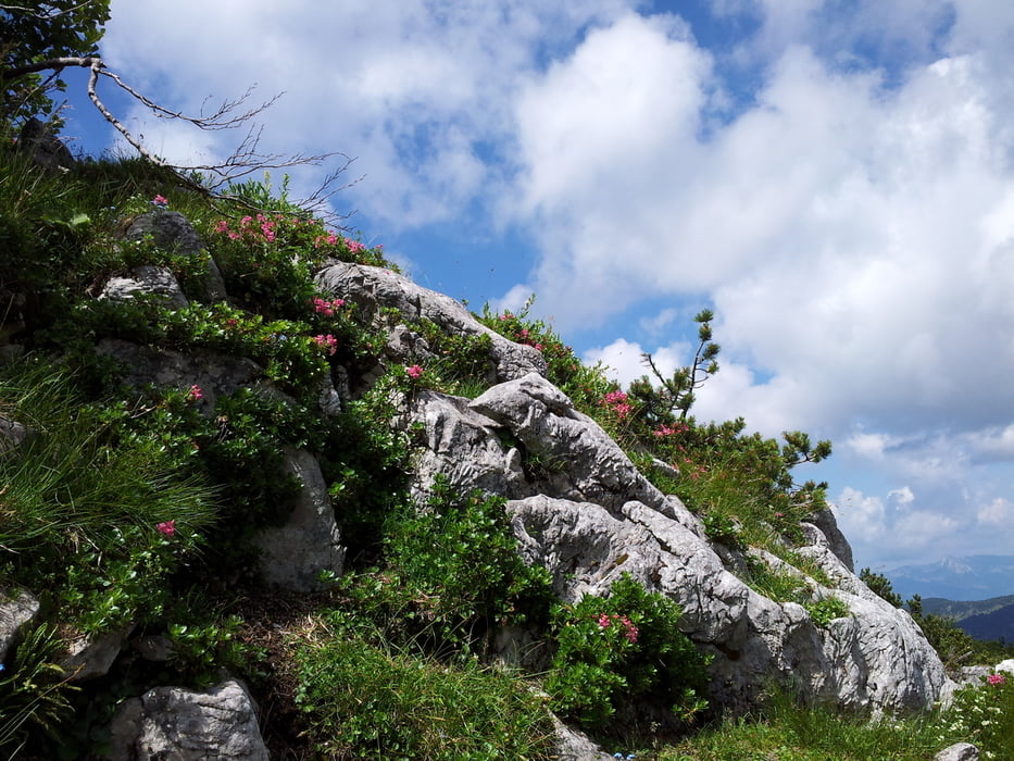
Von der Bergstation zuerst ein kleiner Abstecher zum Gipfelkreuz, letztes Wegstück zu Fuß, eine leichte Kletterpassage. Der tolle Rundumblick entschädigt für die ersten Anstrengungen.
Danach den Gipfelrundweg folgend zurück zur Bergstation und abwärts Richtung Möseralm von dort weiter den Rundweg über Schotter- und Waldwege bis zur nächsten Station , der Loferer Alm.
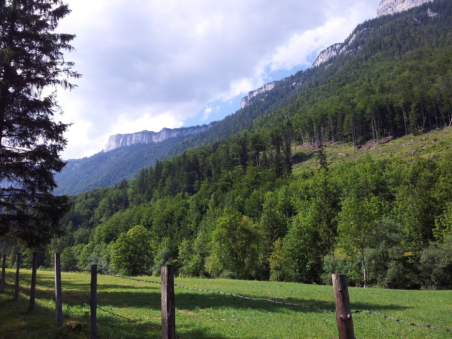
Die Abfahrt von dort endet direkt im schönen Ort Lofer. Von dort geht es dann unterhalb des Bergmassivs auf einem überwiegend flußnahen Radweg zurück nach Waidring.
galéria trás
Mapa trasy a výškový profil
Minimum height 630 m
Maximum height 1872 m
More about the tour author

|
Spunk00 |
komentáre

GPS trasy
Trackpoints-
GPX / Garmin Map Source (gpx) download
-
TCX / Garmin Training Center® (tcx) download
-
CRS / Garmin Training Center® (crs) download
-
Google Earth (kml) download
-
G7ToWin (g7t) download
-
TTQV (trk) download
-
Overlay (ovl) download
-
Fugawi (txt) download
-
Kompass (DAV) Track (tk) download
-
list trasy (pdf) download
-
Original file of the author (gpx) download
More about the tour author
|
|
Spunk00 |
Add to my favorites
Remove from my favorites
Edit tags
Open track
My score
Rate