


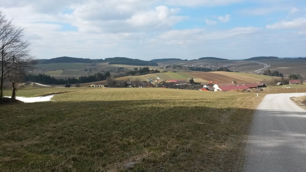
Die Tour beginnt in Eisengraben und führt auf wenig befahrenen Wegen/Straßen nach Friedersbach. Von dort zur Bundesstraße, dann am linken Begleitweg bis über die Brücke beim Ottensteiner Stausee. Danach am rechten Begleitweg bis nach Rastenfeld. In Rastenfeld wieder am rechten Begleitweg bis zur Kreuzung Richtung Mottingeramt. Dann wieder retour bis nach Eisengraben. Die Runde ist im Uhrzeigersinn geführt und ist auch für Rennräder geeignet.
galéria trás


Mapa trasy a výškový profil
Minimum height 508 m
Maximum height 675 m
More about the tour author

|
pentit |
komentáre

GPS trasy
Trackpoints-
GPX / Garmin Map Source (gpx) download
-
TCX / Garmin Training Center® (tcx) download
-
CRS / Garmin Training Center® (crs) download
-
Google Earth (kml) download
-
G7ToWin (g7t) download
-
TTQV (trk) download
-
Overlay (ovl) download
-
Fugawi (txt) download
-
Kompass (DAV) Track (tk) download
-
list trasy (pdf) download
-
Original file of the author (gpx) download
More about the tour author
|
|
pentit |
Add to my favorites
Remove from my favorites
Edit tags
Open track
My score
Rate