Login

Zabudli ste prihlasovacia meno

Cookies have to be accepted!
Your browser's cookie functionality is disabled. Please enable this functionality.

Not a member yet?

Register now
Login

Available for registred users only

Log in to use this feature.

Zabudli ste prihlasovacia meno

Cookies have to be accepted!
Your browser's cookie functionality is disabled. Please enable this functionality.

Not a member yet?

Register now
Filter
Kategórie
Advanced filters
  • Dĺžka (km)
  • výškomer
Uložiť filter Reset filter

TrackRank

QRCode

Technical data

Dĺžka10,8 km výškomer436 m Way down432 m Doba03:45 h:m dátum11.03.2015
ohodnotenia Author Kraj pôžitok z túry kondícia technika

štatistika

697 náhľady ohodnotenia 58 Stiahnutia priemer
Rate
  • list trasy
  • príjazd
  • Stiahnutia

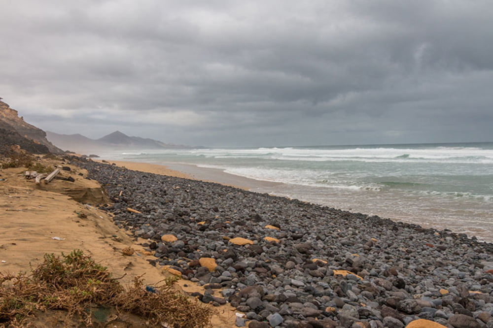
Wanderung durch den Barranco de Pecenescal. Anfangs breiter Schotterweg, dann durchs Barranco. Ab der Passhöhe steile Pfade, gute Trittsicherheit erforderlich!


Further information at

http://www.wanderseite.net/strecken2015/fuerteventura/wanderungen/pecenescal/

galéria trás

Mapa trasy a výškový profil

  • Open Street Map
  • Google
Minimum height 18 m Maximum height 276 m Detailný pohľad

More about the tour author

Moppedcarlo
Member since 2008

Send private message

komentáre

GPS trasy

Trackpoints
  • GPX / Garmin Map Source (gpx) download
  • TCX / Garmin Training Center® (tcx) download
  • CRS / Garmin Training Center® (crs) download
  • Google Earth (kml) download
  • G7ToWin (g7t) download
  • TTQV (trk) download
  • Overlay (ovl) download
  • Fugawi (txt) download
  • Kompass (DAV) Track (tk) download
  • list trasy (pdf) download
  • Original file of the author (gpx) download

More about the tour author

Moppedcarlo
Member since 2008

Send private message
Share track
Add to my favorites
Remove from my favorites
Edit tags
My score
Rate
trasa: Barranco de Pecenescal
Druh: trasa
Dĺžka: 10,8 km
Evaluated on:
Doba:
Day(s)
Hour(s)
Minute(s)
ohodnotenie: Kraj pôžitok z túry kondícia technika