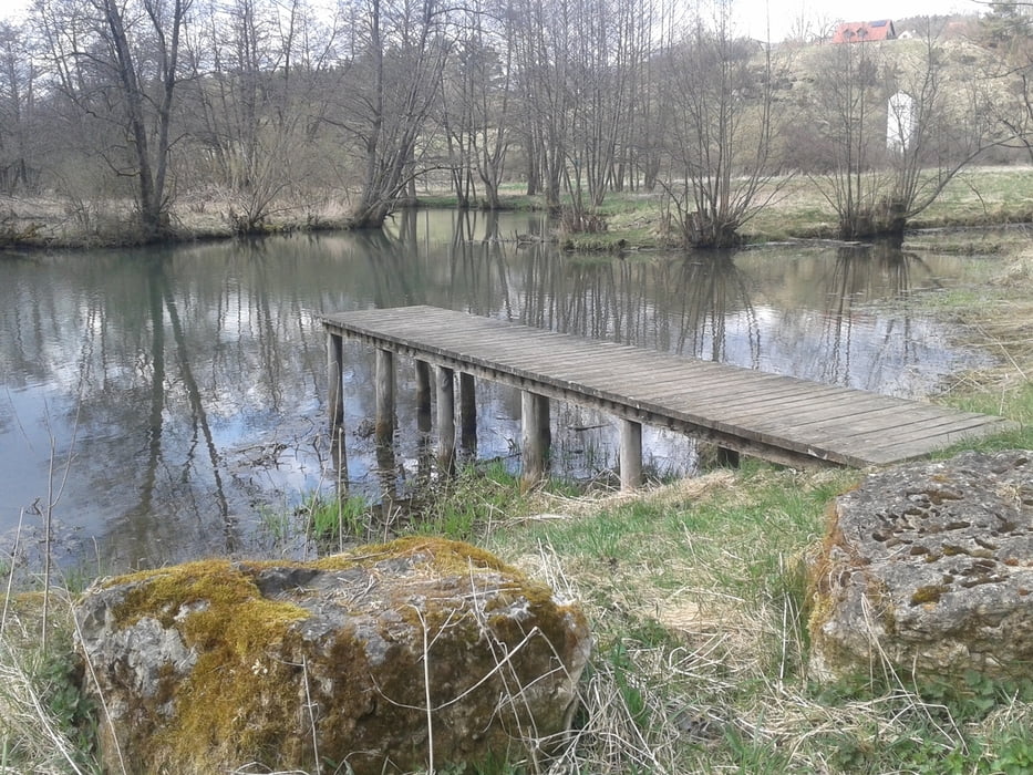
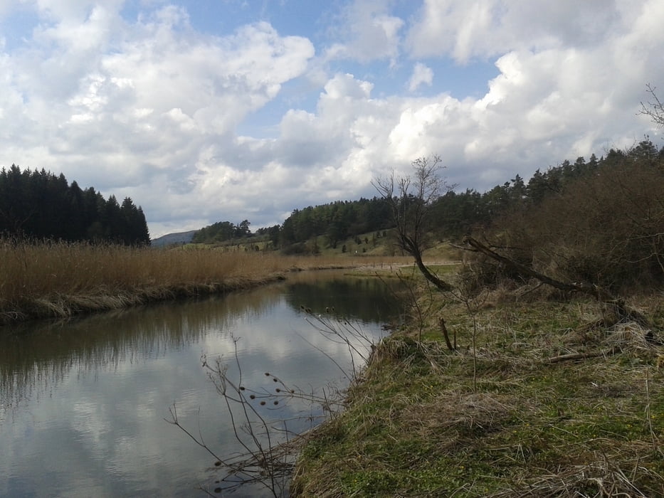
- Streckenverlauf: Beratzhausen - Labertal (Kohlmühle - Königsmühle - Pexmühle - Sturmmühle) - Seibertshofen - Labertal (Wieselbruck - Degerndorf) - Lupburg - Parsberg - Dettenhofen - Mausheim - Haderlsdorf - Beratzhausen
- Streckenzustand: Die Strecke verläuft überwiegend - abseits der öffentlichen Verkehrswegen - auf Wald- und Feldwegen.
ich bin die Strecke mit dem Crossrad gefahren.
galéria trás
Mapa trasy a výškový profil
Minimum height 406 m
Maximum height 508 m
komentáre

- Ausgangspunkt und Parkmöglichkeit: Sportplatz TSV Beratzhausen
- Alternative: Essenbügel Beratzhausen oder Bahnhof Beratzhausen
GPS trasy
Trackpoints-
GPX / Garmin Map Source (gpx) download
-
TCX / Garmin Training Center® (tcx) download
-
CRS / Garmin Training Center® (crs) download
-
Google Earth (kml) download
-
G7ToWin (g7t) download
-
TTQV (trk) download
-
Overlay (ovl) download
-
Fugawi (txt) download
-
Kompass (DAV) Track (tk) download
-
list trasy (pdf) download
-
Original file of the author (gpx) download
Add to my favorites
Remove from my favorites
Edit tags
Open track
My score
Rate


