
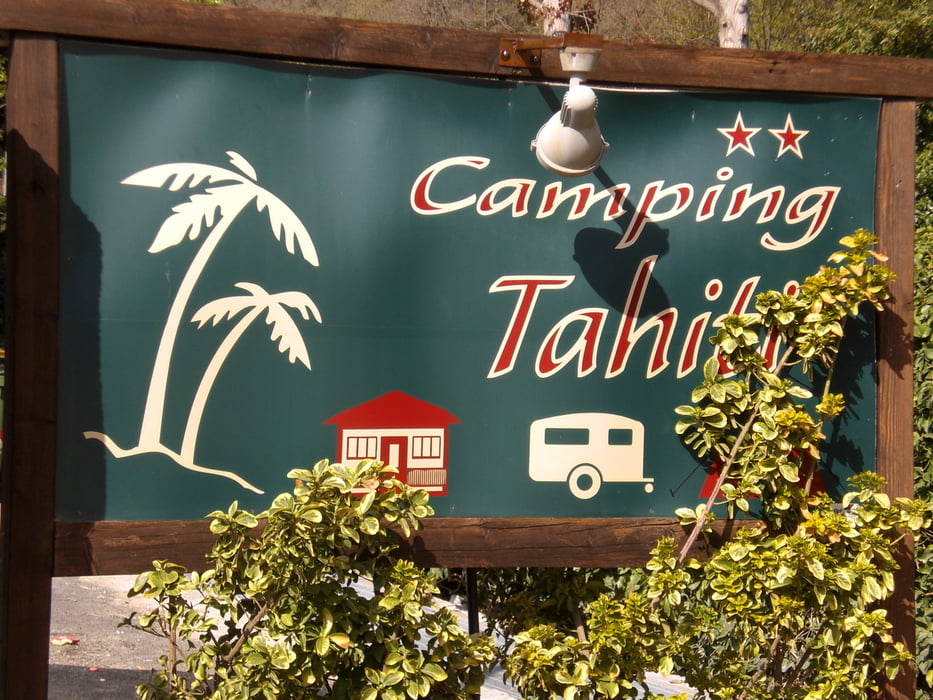

vom Camping Tahiti über Finalborgo steil (ein paar verblockte Schiebepassagen sind dabei) auf den Caprazoppa. Von dort fahren wir auf einem Trail nach Gorra und von dort die Strasse hoch bis zur Einfahrt zur Kapell Madonna de Guardia. Von hier auf einem Waldweg hoch zum Einstieg. Der rollercoaster beginnt sehr sanft, um dann in Wellen bergab mal 3 - 4 Meter fast senkrecht runter und hoch zu gehen. Bleibt man untern stecken, weil einem der Schwung fehlt, kommt man fast nicht mehr hoch. Der ganze Trail ist gut fahrbar alles S1, Lehmboden. An einer Kapelle kommt man wieder raus. Von hier zurück Richtung Gorra und dann links ab nach Calice Ligure. Kurz nach der ersten kehre geht ein Fahrweg rein, der sich dann zu einem gut fahrbaren stilen S1 Trail mausert. Den fahren wir runter nach Calice Ligure. Von hier leider zurück auf der Strasse zum Campingplatz.
galéria trás

Mapa trasy a výškový profil
Minimum height -59 m
Maximum height 684 m
More about the tour author
|
|
Fruehaufsteher |
komentáre

GPS trasy
Trackpoints-
GPX / Garmin Map Source (gpx) download
-
TCX / Garmin Training Center® (tcx) download
-
CRS / Garmin Training Center® (crs) download
-
Google Earth (kml) download
-
G7ToWin (g7t) download
-
TTQV (trk) download
-
Overlay (ovl) download
-
Fugawi (txt) download
-
Kompass (DAV) Track (tk) download
-
list trasy (pdf) download
-
Original file of the author (gpx) download
More about the tour author
|
|
Fruehaufsteher |
Add to my favorites
Remove from my favorites
Edit tags
Open track
My score
Rate