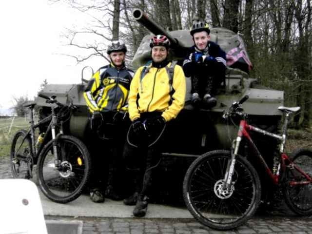
Kleine Winterliche Tour.
Petite randonnée hivernale
Petite randonnée hivernale
galéria trás
Mapa trasy a výškový profil
Minimum height 272 m
Maximum height 406 m
komentáre

Den Sart befindet sich auf den höhen von Spicheren.
Parken am ende der "rue des hauteurs", an dem Kreuz "Spicheren Battlefield 1870".
Le départ se fait sur les hauteurs de Spicheren.
Garer le véhicule à la fin de la rue des hauteur, à la croix "Spicheren Battlefield 1870".
Parken am ende der "rue des hauteurs", an dem Kreuz "Spicheren Battlefield 1870".
Le départ se fait sur les hauteurs de Spicheren.
Garer le véhicule à la fin de la rue des hauteur, à la croix "Spicheren Battlefield 1870".
GPS trasy
Trackpoints-
GPX / Garmin Map Source (gpx) download
-
TCX / Garmin Training Center® (tcx) download
-
CRS / Garmin Training Center® (crs) download
-
Google Earth (kml) download
-
G7ToWin (g7t) download
-
TTQV (trk) download
-
Overlay (ovl) download
-
Fugawi (txt) download
-
Kompass (DAV) Track (tk) download
-
list trasy (pdf) download
-
Original file of the author (gpx) download
Add to my favorites
Remove from my favorites
Edit tags
Open track
My score
Rate


