
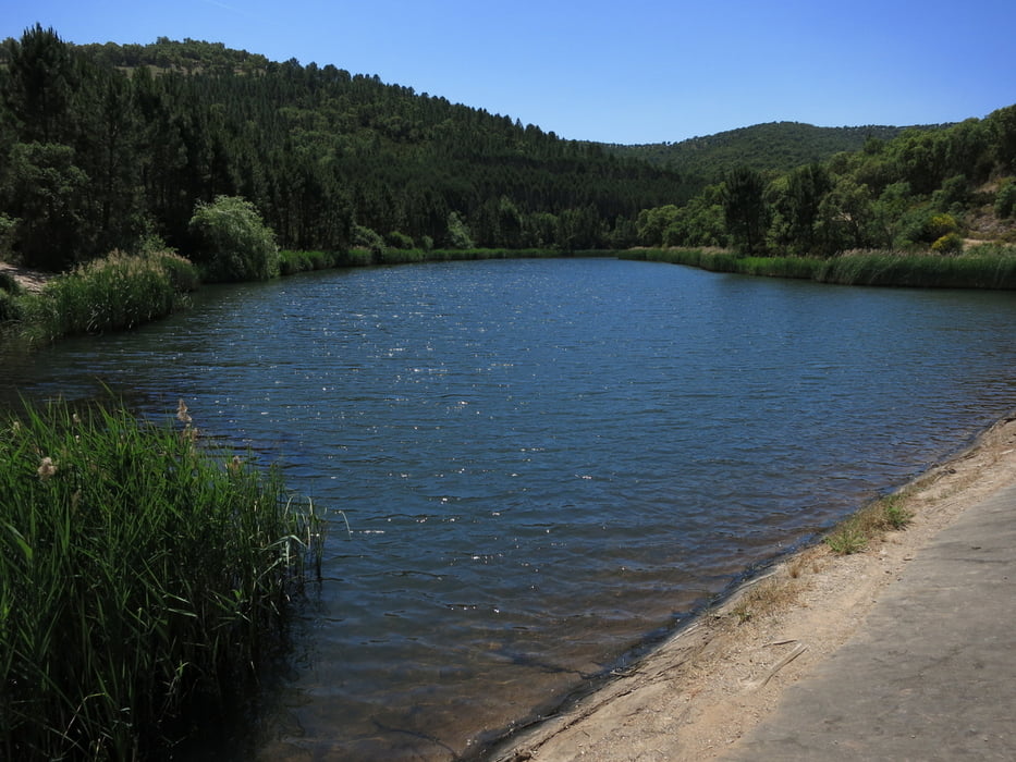

Gleich nördlich von La Londe des maures von der Strasse "Pas de Cerf" abbiegen und auf sanft ansteigender Piste zum Höhenzugkamm hochkurbeln. Ich habe einen unscheinbaren Singletrail für die Abfahrt zum Stausee gewählt, der im oberen Teil nett ist, dann ab einer verfallenen Hütte aber sehr verwildert. Also nur für Abenteurer, die nichts gegen verkratzte Beine und öfteres Absteigen haben. Alle anderen nehmen einfach die nächste breite Piste 500 m weiter rechts ab.
Wäre toll, wenn hier nachzulesen wäre, ob der Weg irgendwann mal freigemacht wird!
Mapa trasy a výškový profil
Minimum height 70 m
Maximum height 483 m
More about the tour author
|
|
rad05 |
komentáre

GPS trasy
Trackpoints-
GPX / Garmin Map Source (gpx) download
-
TCX / Garmin Training Center® (tcx) download
-
CRS / Garmin Training Center® (crs) download
-
Google Earth (kml) download
-
G7ToWin (g7t) download
-
TTQV (trk) download
-
Overlay (ovl) download
-
Fugawi (txt) download
-
Kompass (DAV) Track (tk) download
-
list trasy (pdf) download
-
Original file of the author (gpx) download
More about the tour author
|
|
rad05 |
Add to my favorites
Remove from my favorites
Edit tags
Open track
My score
Rate