
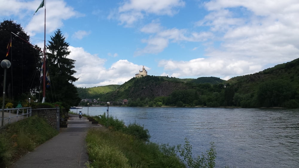

Gestern hinauf geschoben, heute die 4 km ganz entspannt hinunter gerollt aber immer schön die Bremse griffbereit. Der Rhein fräst dich hier durch ein enges Tal und so ist der Radweg bis kurz vor Koblenz direkt an der Staße, jedoch durch eine Leitplanke vom Verkehr getrennt. In Boppard besuchen wir die klösterliche Senfmühle und testen uns durch das Softiment. In Koblenz ist Halt am "Deutschen Eck" pflicht, hier machen wir eine kurze Pause und fahren danach in die Altstadt. Dort genießen wir in einer Konditorei ein Stück Sahnetorte und einen Kaffee. Anschließend fahren wir zum kurfürstlichen Schloss um dann unseren Weg am Rhein in Richtung Andernach fort zu führen. Wir hatten gedacht wir kommen bis Bad Breisig, buchen dann aber doch in Andernach ein Zimmer.
galéria trás


Mapa trasy a výškový profil
Minimum height 66 m
Maximum height 270 m
More about the tour author
|
|
michafischa |
komentáre

GPS trasy
Trackpoints-
GPX / Garmin Map Source (gpx) download
-
TCX / Garmin Training Center® (tcx) download
-
CRS / Garmin Training Center® (crs) download
-
Google Earth (kml) download
-
G7ToWin (g7t) download
-
TTQV (trk) download
-
Overlay (ovl) download
-
Fugawi (txt) download
-
Kompass (DAV) Track (tk) download
-
list trasy (pdf) download
-
Original file of the author (gpx) download
More about the tour author
|
|
michafischa |
Add to my favorites
Remove from my favorites
Edit tags
Open track
My score
Rate