Login

Zabudli ste prihlasovacia meno

Cookies have to be accepted!
Your browser's cookie functionality is disabled. Please enable this functionality.

Not a member yet?

Register now
Login

Available for registred users only

Log in to use this feature.

Zabudli ste prihlasovacia meno

Cookies have to be accepted!
Your browser's cookie functionality is disabled. Please enable this functionality.

Not a member yet?

Register now
Filter
Kategórie
Advanced filters
  • Dĺžka (km)
  • výškomer
Uložiť filter Reset filter

TrackRank

QRCode

Technical data

Dĺžka11,3 km výškomer0 m Way down741 m Doba02:40 h:m dátum18.06.2015
ohodnotenia Author Kraj pôžitok z túry kondícia technika

štatistika

488 náhľady ohodnotenia 17 Stiahnutia priemer
Rate
  • list trasy
  • príjazd
  • Stiahnutia
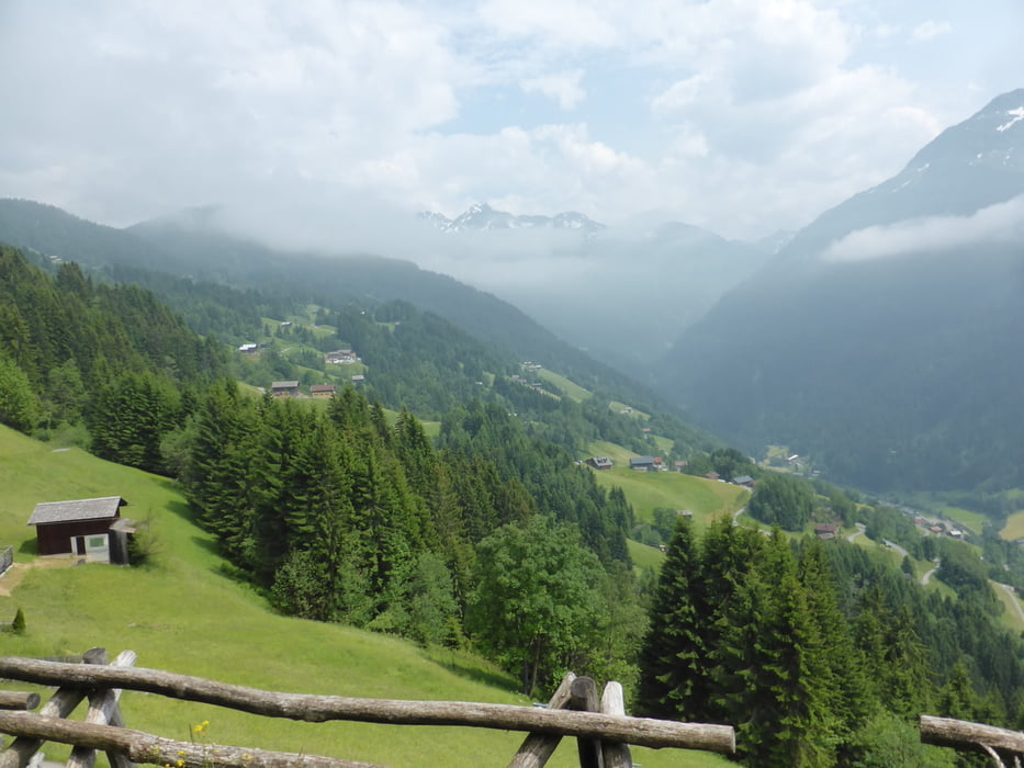
Mit der Kristbergseilbahn fahren auf den Kristberg (1.450 m) und wandern von dort gemütlich abwärts über Innerberg nach Schruns (Bahnhof) (700 m ü.M.)

Further information at

http://www.kristbergbahn.at/index.php?option=com_content&view=article&id=73&Itemid=60

galéria trás

Mapa trasy a výškový profil

  • Open Street Map
  • Google
Minimum height 695 m Maximum height 1444 m Detailný pohľad

More about the tour author

horst1508
Member since 2012

Send private message

komentáre

In Schruns (Montafon)nehmen wir den Bus 88 und fahren in circa 15 Minuten nach Sllbertal, Talstation der Kristberg-Seilbahn.

GPS trasy

Trackpoints
  • GPX / Garmin Map Source (gpx) download
  • TCX / Garmin Training Center® (tcx) download
  • CRS / Garmin Training Center® (crs) download
  • Google Earth (kml) download
  • G7ToWin (g7t) download
  • TTQV (trk) download
  • Overlay (ovl) download
  • Fugawi (txt) download
  • Kompass (DAV) Track (tk) download
  • list trasy (pdf) download
  • Original file of the author (gpx) download

More about the tour author

horst1508
Member since 2012

Send private message
Share track
Add to my favorites
Remove from my favorites
Edit tags
My score
Rate
trasa: Silbertal - Kristberg - Innerberg - Schruns
Druh: trasa
Dĺžka: 11,3 km
Evaluated on:
Doba:
Day(s)
Hour(s)
Minute(s)
ohodnotenie: Kraj pôžitok z túry kondícia technika