


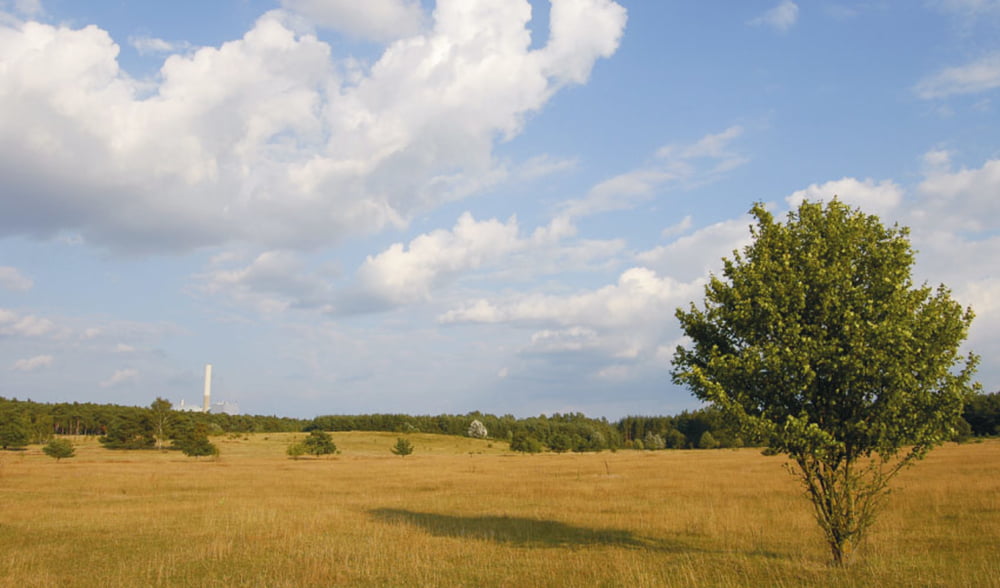
Die Tour beginnt in Fürth und führt über den Radweg im Wiesengrund direkt nach Zirndorf. Von dort aus geht es durch das Naturschutzgebiet Hainberg. Danach erreichen wir Unterweihersbuch und Oberweihersbuch und fahren Richtung Loch. Biegen dann aber links in ein Waldstück ein, dem ein kleiner Wandertrail bis Gutzberg führt. Wir kreuzen die B14 und fahren Richtung GolfRange Nürnberg.
Hier folgt die Schleife und fahren fast parallel zur Hinfahrt wieder Richtung Zirndorf / Fürth nach Hause.
Ich habe für die Tour 1:45h gebraucht und hatte einen 22er Schnitt. Die Strecke bietet sich also ideal als Feierabendtour an oder wenn man mal nicht so viel Zeit hat.
Viel Spaß beim Nachfahren!
galéria trás

Mapa trasy a výškový profil
Minimum height 282 m
Maximum height 386 m
More about the tour author

|
t0bs7ar |
komentáre
GPS trasy
Trackpoints-
GPX / Garmin Map Source (gpx) download
-
TCX / Garmin Training Center® (tcx) download
-
CRS / Garmin Training Center® (crs) download
-
Google Earth (kml) download
-
G7ToWin (g7t) download
-
TTQV (trk) download
-
Overlay (ovl) download
-
Fugawi (txt) download
-
Kompass (DAV) Track (tk) download
-
list trasy (pdf) download
-
Original file of the author (gpx) download
More about the tour author
|
|
t0bs7ar |
Add to my favorites
Remove from my favorites
Edit tags
Open track
My score
Rate
top
freut mich
jep
Schade dass auf dem Portal so relativ wenig los ist (zumindest für unsere Gegend)...