


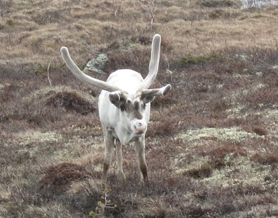
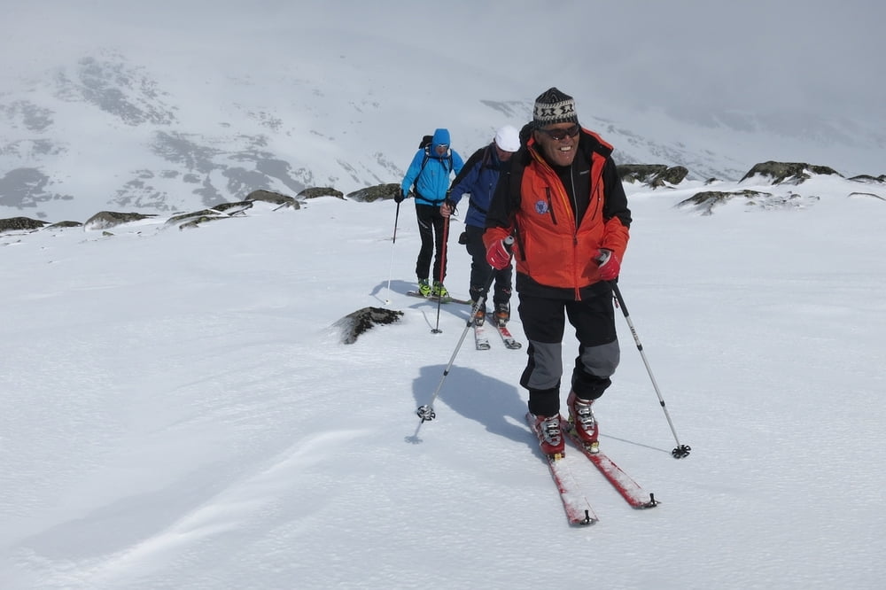
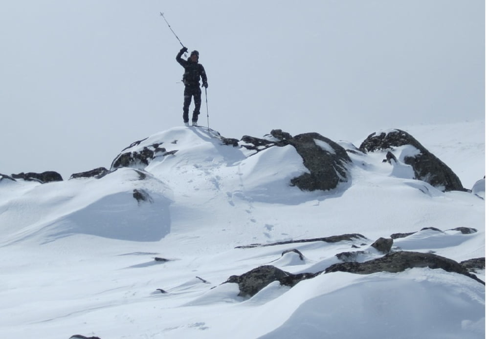
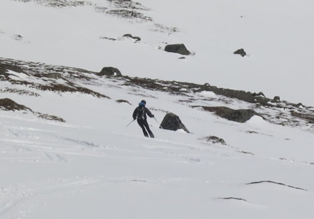
Von der Straße geht es über flaches Gelände zum Gipfelaufbau. Mit etwas Glück begegnet man hier Rentierherden. Den übersichtlichen Gipfelhang traversiert man von links nach rechts und achtet dabei auf mögliche Lawinengefahr. Abfahrt wie Aufstieg.
galéria trás
Mapa trasy a výškový profil
Minimum height 1161 m
Maximum height 1804 m
More about the tour author
|
|
RudolfTill |
komentáre

Von Lillehammer fährt man auf der E6 bis Otta. Hier zweigt man links auf die Straße 15 ab und fährt bis Tessand. Hier nochmals links auf die Straße 51 und fährt an Hindseter vorbei in Richtung Bessheim. Von einem Parkplatz aus startet die Tour.
GPS trasy
Trackpoints-
GPX / Garmin Map Source (gpx) download
-
TCX / Garmin Training Center® (tcx) download
-
CRS / Garmin Training Center® (crs) download
-
Google Earth (kml) download
-
G7ToWin (g7t) download
-
TTQV (trk) download
-
Overlay (ovl) download
-
Fugawi (txt) download
-
Kompass (DAV) Track (tk) download
-
list trasy (pdf) download
-
Original file of the author (gpx) download
More about the tour author
|
|
RudolfTill |
Add to my favorites
Remove from my favorites
Edit tags
Open track
My score
Rate