

Ich habe die Tour wieder in Schilbach begonnen, Richtung Raila. Im Railaer Grund über den Bach und vor zur Hammermühle über , die B2 in den Schleizer Wald hoch nach Heinrichsruh, runter in die Seng am Goethe Stein vorbei über den Pfitzig (514 üNN), nach Oschitz um die Eremitage zum Amurfelsen zur Glücksmühle (Gaststätte). Über Mönchgrün zur Wiesentatalsperre und auf der anderen Seite zurück nach Schloss Burgk.
Teilweise nicht einfache Trail`s auf der gesamten Strecke, auch sehr verwachsen, trotzdem gut fahrbar.
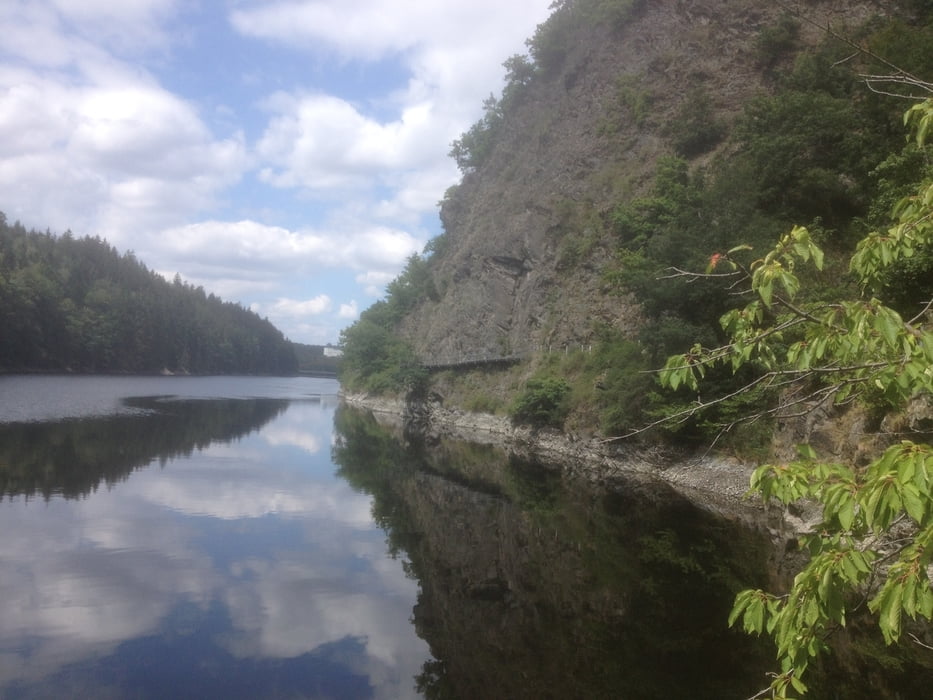
Weiter zur Eisbrücke, Koberfelsen hoch nach Gräfenwarth, überParkplatz mit Roster Stand runter in die Gräfenwarther Bucht durch das Wettera Tal nach Raila zurück nach Schilbach.
galéria trás


Mapa trasy a výškový profil
Minimum height 366 m
Maximum height 597 m
More about the tour author
|
|
TKOetzi |
komentáre

GPS trasy
Trackpoints-
GPX / Garmin Map Source (gpx) download
-
TCX / Garmin Training Center® (tcx) download
-
CRS / Garmin Training Center® (crs) download
-
Google Earth (kml) download
-
G7ToWin (g7t) download
-
TTQV (trk) download
-
Overlay (ovl) download
-
Fugawi (txt) download
-
Kompass (DAV) Track (tk) download
-
list trasy (pdf) download
-
Original file of the author (gpx) download
More about the tour author
|
|
TKOetzi |
Add to my favorites
Remove from my favorites
Edit tags
Open track
My score
Rate