Login

Zabudli ste prihlasovacia meno

Cookies have to be accepted!
Your browser's cookie functionality is disabled. Please enable this functionality.

Not a member yet?

Register now
Login

Available for registred users only

Log in to use this feature.

Zabudli ste prihlasovacia meno

Cookies have to be accepted!
Your browser's cookie functionality is disabled. Please enable this functionality.

Not a member yet?

Register now
Filter
Kategórie
Advanced filters
  • Dĺžka (km)
  • výškomer
Uložiť filter Reset filter

TrackRank

QRCode

Technical data

Dĺžka35,0 km výškomer757 m Way down755 m Doba00:00 h:m dátum16.08.2015
ohodnotenia Author Kraj pôžitok z túry kondícia technika

štatistika

288 náhľady ohodnotenia 44 Stiahnutia priemer
Rate
  • list trasy
  • príjazd
  • Stiahnutia

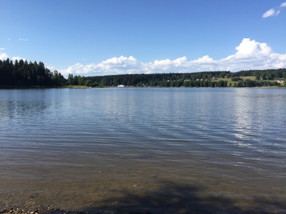
der erste Teil ist von Wald- und Wiesenwegen dominiert, hügelig; der zweite Teil immer wieder auf Asphalt und nicht mehr so hügelig und eher entspannt zu fahren. Landschaftlich sind alle Teile sehr reizvoll bzw teilweise wildromantisch. Alle Wege sind für MBler zugelassen.


Mapa trasy a výškový profil

  • Open Street Map
  • Google
Minimum height 703 m Maximum height 984 m Detailný pohľad

More about the tour author

kitzmul9
Member since 2010

Send private message

komentáre

ein guter Ausgangspunkt ist das Hotel Guglwald in der Gemeinde Schönegg, Bezirk Rohrbach.

Man kommt entweder von Haslach - St.Stefan oder über Bad Leonfelden - Vorderweißenbach nach Guglwald.


GPS trasy

Trackpoints
  • GPX / Garmin Map Source (gpx) download
  • TCX / Garmin Training Center® (tcx) download
  • CRS / Garmin Training Center® (crs) download
  • Google Earth (kml) download
  • G7ToWin (g7t) download
  • TTQV (trk) download
  • Overlay (ovl) download
  • Fugawi (txt) download
  • Kompass (DAV) Track (tk) download
  • list trasy (pdf) download
  • Original file of the author (gpx) download

More about the tour author

kitzmul9
Member since 2010

Send private message
Share track
Add to my favorites
Remove from my favorites
Edit tags
My score
Rate
trasa: Guglwald-Hörleinsödt-St.Thoma-Moldaustausee
Druh: horský bicykel
Dĺžka: 35,0 km
Evaluated on:
Doba:
Day(s)
Hour(s)
Minute(s)
ohodnotenie: Kraj pôžitok z túry kondícia technika