
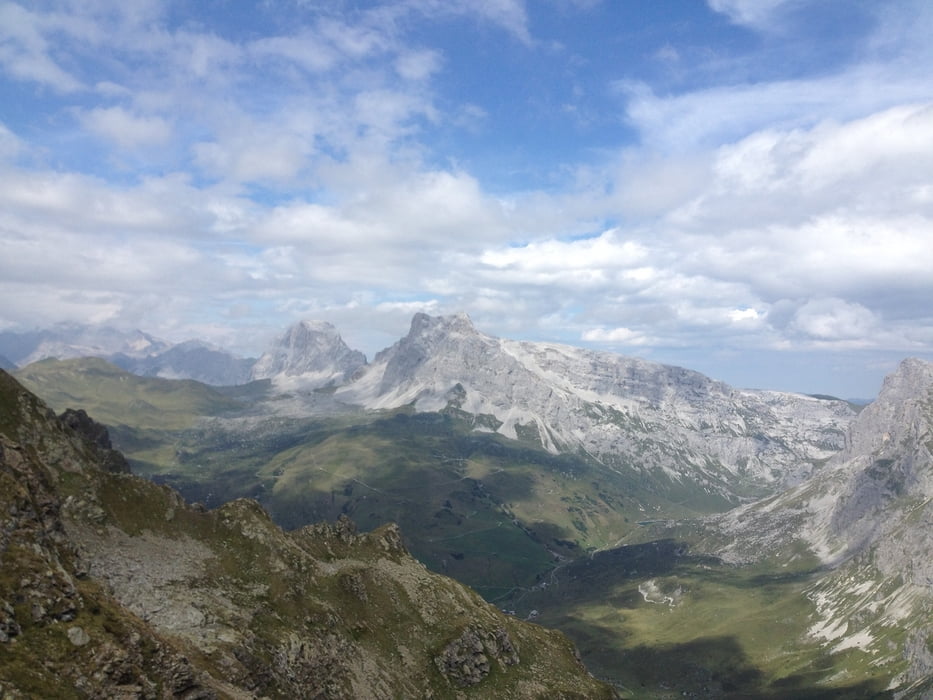

Das Teilstück zur Riedkopf sowie zum St. Antönier Joch erfordert Trittsicherheit und Schwindelfreiheit.
Der Weg zum Riedkopf ist nicht gesichert und es müssen die Hände verwendet werden.
Der Weg zum Riedkopf ist nicht gesichert und es müssen die Hände verwendet werden.
galéria trás


Mapa trasy a výškový profil
Minimum height 1413 m
Maximum height 2551 m
More about the tour author

|
xlink |
komentáre

GPS trasy
Trackpoints-
GPX / Garmin Map Source (gpx) download
-
TCX / Garmin Training Center® (tcx) download
-
CRS / Garmin Training Center® (crs) download
-
Google Earth (kml) download
-
G7ToWin (g7t) download
-
TTQV (trk) download
-
Overlay (ovl) download
-
Fugawi (txt) download
-
Kompass (DAV) Track (tk) download
-
list trasy (pdf) download
-
Original file of the author (gpx) download
More about the tour author
|
|
xlink |
Add to my favorites
Remove from my favorites
Edit tags
Open track
My score
Rate