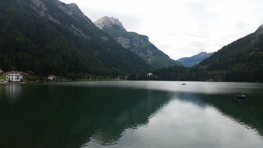
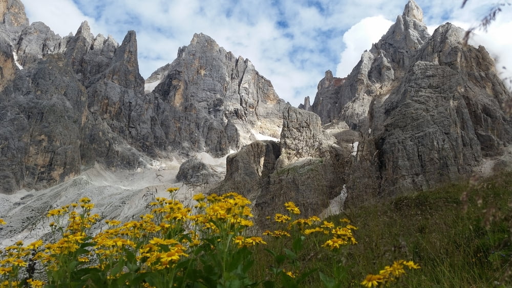
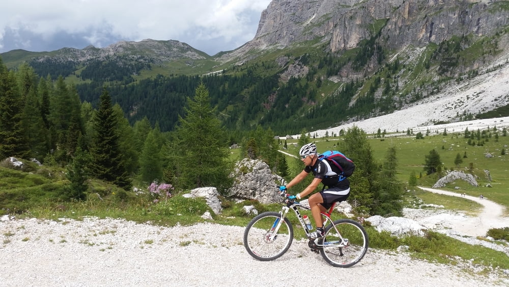
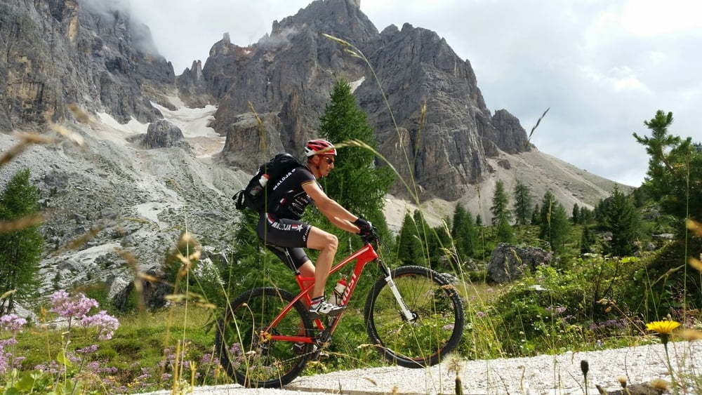
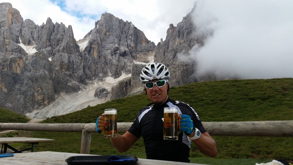
Aufgrund Schlechtwetter musste die geplante Tour über die Forcella d' Ambrizolla kurzerhand auf die Straße und somit dem Passo Giau gelegt werden. Traumhafter Anstieg zur Baita Segantini als zweiter langer Anstieg auf dieser Etappe.
Cortina d' Ampezzo-Passo Giau-Alleghe-San Tomaso-Passo Valles-Baita Segantini-San Martino di Castrozza-Imer
galéria trás
Mapa trasy a výškový profil
Minimum height 628 m
Maximum height 2239 m
komentáre

GPS trasy
Trackpoints-
GPX / Garmin Map Source (gpx) download
-
TCX / Garmin Training Center® (tcx) download
-
CRS / Garmin Training Center® (crs) download
-
Google Earth (kml) download
-
G7ToWin (g7t) download
-
TTQV (trk) download
-
Overlay (ovl) download
-
Fugawi (txt) download
-
Kompass (DAV) Track (tk) download
-
list trasy (pdf) download
-
Original file of the author (gpx) download
Add to my favorites
Remove from my favorites
Edit tags
Open track
My score
Rate

