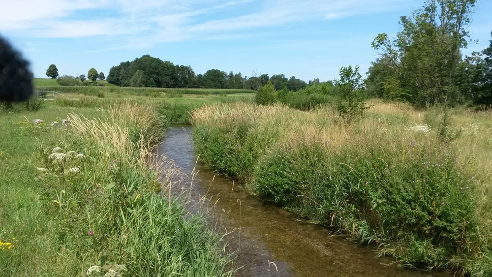
Sehr schöne, meist im Wald zu fahrende MTB Tour rund um Bad Wörishofen.
Sehenswert ist der Skyline Park, Therme, Aussichtspunkt Hartenthal, Kapelle zum hl. Geist, und das Örtchen Kirchdorf.
galéria trás
Mapa trasy a výškový profil
Minimum height 748 m
Maximum height 842 m
komentáre

GPS trasy
Trackpoints-
GPX / Garmin Map Source (gpx) download
-
TCX / Garmin Training Center® (tcx) download
-
CRS / Garmin Training Center® (crs) download
-
Google Earth (kml) download
-
G7ToWin (g7t) download
-
TTQV (trk) download
-
Overlay (ovl) download
-
Fugawi (txt) download
-
Kompass (DAV) Track (tk) download
-
list trasy (pdf) download
-
Original file of the author (gpx) download
Add to my favorites
Remove from my favorites
Edit tags
Open track
My score
Rate


