Start und Ziel in Grosspostwitz
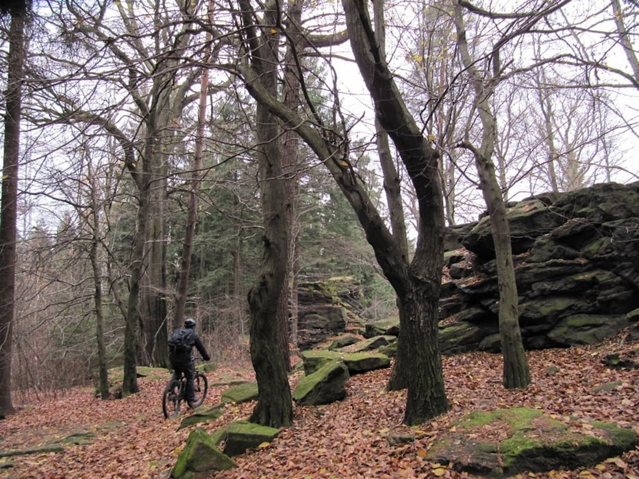
auf dem Spreeradweg in Richtung Eulowitz, über Straße rechts abbiegen nach Rodewitz, Callenberg, Crostau, hinauf Richtung Potsberg, über Waldwege zu den Kälbersteinen, runter nach Ellersdorf, Richtung Sohland Stausee und zurück über Schirgiswalde nach Grosspostwitz
Further information at
http://www.oberlausitzer-bergland.de/galéria trás
Mapa trasy a výškový profil
Minimum height 229 m
Maximum height 493 m
komentáre

Bautzen, B96 in Richtung Oppach
kostenfeier Parkplatz vor Kirche rechts
GPS trasy
Trackpoints-
GPX / Garmin Map Source (gpx) download
-
TCX / Garmin Training Center® (tcx) download
-
CRS / Garmin Training Center® (crs) download
-
Google Earth (kml) download
-
G7ToWin (g7t) download
-
TTQV (trk) download
-
Overlay (ovl) download
-
Fugawi (txt) download
-
Kompass (DAV) Track (tk) download
-
list trasy (pdf) download
-
Original file of the author (gpx) download
Add to my favorites
Remove from my favorites
Edit tags
Open track
My score
Rate


