Login

Zabudli ste prihlasovacia meno

Cookies have to be accepted!
Your browser's cookie functionality is disabled. Please enable this functionality.

Not a member yet?

Register now
Login

Available for registred users only

Log in to use this feature.

Zabudli ste prihlasovacia meno

Cookies have to be accepted!
Your browser's cookie functionality is disabled. Please enable this functionality.

Not a member yet?

Register now
Filter
Kategórie
Advanced filters
  • Dĺžka (km)
  • výškomer
Uložiť filter Reset filter

TrackRank

QRCode

Technical data

Dĺžka54,7 km výškomer906 m Way down909 m Doba06:00 h:m dátum23.09.2015
ohodnotenia Author User Kraj pôžitok z túry kondícia technika

štatistika

470 náhľady 2 ohodnotenia 116 Stiahnutia 5.00 priemer
Rate
  • list trasy
  • príjazd
  • Stiahnutia

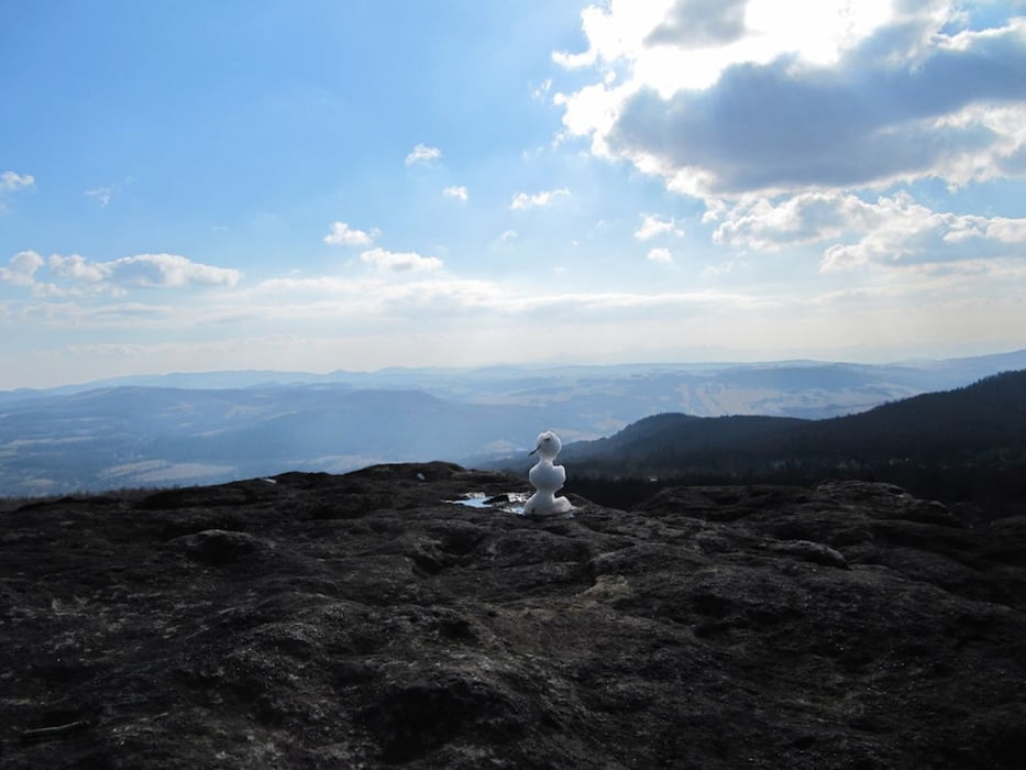
los gehts in Krippen und damit erstmal bergauf und dies eigentlich bis zum Gipfel des Deciner Schneeberges, halt mal seichter und halt mal etwas steiler

auf dem Gipfel kann man am Aussichtsturm entspannen bei Speis und Trank, danach geht es nur noch abwärts


Further information at

http://www.saechsische-schweiz.de/elbsandsteingebirge.html

galéria trás

Mapa trasy a výškový profil

  • Open Street Map
  • Google
Minimum height 121 m Maximum height 715 m Detailný pohľad

More about the tour author

schwaran
Member since 2012

Send private message

komentáre

Pirna - Struppen - Königsstein - Richtung Bad Schandau, vor Elbbrücke nach rechts abbiegen in Richtung Krippen

Parkplatz am Orseingang


GPS trasy

Trackpoints
  • GPX / Garmin Map Source (gpx) download
  • TCX / Garmin Training Center® (tcx) download
  • CRS / Garmin Training Center® (crs) download
  • Google Earth (kml) download
  • G7ToWin (g7t) download
  • TTQV (trk) download
  • Overlay (ovl) download
  • Fugawi (txt) download
  • Kompass (DAV) Track (tk) download
  • list trasy (pdf) download
  • Original file of the author (gpx) download

More about the tour author

schwaran
Member since 2012

Send private message
Share track
Add to my favorites
Remove from my favorites
Edit tags
My score
Rate
trasa: Auf den Deciner Schneeberg
Druh: horský bicykel
Dĺžka: 54,7 km
Evaluated on:
Doba:
Day(s)
Hour(s)
Minute(s)
ohodnotenie: Kraj pôžitok z túry kondícia technika