

Start in Going am Infobüro. Direkt daneben liegt das Seriengasthaus aus dem Bergdoktor " Wilder Kaiser ". Über Ellmau geht es in Richtung Hartkaiser. Wer will kann kurz vor dem Anstieg noch die Bergdoktorpraxis anschauen, ist recht gut beschrieben. Es folgt ein langer Anstieg, bevor wir oben angekommen in der Tanzbodenalm rast machen können. Wir haben vorerst darauf verzichtet, da wie ja später nochmals an diese Stelle kommen. Es folgt eine rasante Abfahrt, die uns direkt am " Bergdoktorhaus bzw. Gruberhof ", vorbei führt. Weiter geht es über Söll nach Scheffau. Dort entweder direkt den Radweg weiter zurück nach Going, oder so wie wir mit der Seilbahn wieder nach oben. EInkehr in der Tanzbodenalm und danach rasant in Richtung Ellmau hinunter. Von Elmau nach ca. 2 Km zurück an den Startpunkt in Going.
Angaben zu Stecke und Höhenmeter beziehen sich auf die reine Fahrt ohne Bergbahn Scheffau / Brandstadl
Mapa trasy a výškový profil
Minimum height 633 m
Maximum height 1639 m
More about the tour author

|
mareb1972 |
komentáre

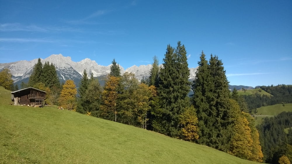
Wilder Kaier, Going
GPS trasy
Trackpoints-
GPX / Garmin Map Source (gpx) download
-
TCX / Garmin Training Center® (tcx) download
-
CRS / Garmin Training Center® (crs) download
-
Google Earth (kml) download
-
G7ToWin (g7t) download
-
TTQV (trk) download
-
Overlay (ovl) download
-
Fugawi (txt) download
-
Kompass (DAV) Track (tk) download
-
list trasy (pdf) download
-
Original file of the author (gpx) download
More about the tour author
|
|
mareb1972 |
Add to my favorites
Remove from my favorites
Edit tags
Open track
My score
Rate