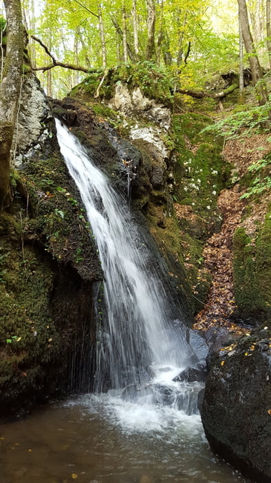
Wanderung von Villapourcon über Wald- und Feldwege zur wilden Schlucht mit Wasserfall.
Der Zugang zu der Schlucht ist am Feldweg ausgeschildert. Da er unweit eines Ortes und einer Straße ist, begegnet man hier am Wochenende of Spatziergängern.
Further information at
http://tourisme.parcdumorvan.org/un-kilometre-a-pied_fr_04_t56.htmlgaléria trás
Mapa trasy a výškový profil
Minimum height 413 m
Maximum height 675 m
komentáre

Auf N81 von Autun kommend, Abzweig rechts auf D3 oder später D61, die dann die D3 kreutzt, der man links nach Villapourcon folgt. Parken in Ortsmitte.
GPS trasy
Trackpoints-
GPX / Garmin Map Source (gpx) download
-
TCX / Garmin Training Center® (tcx) download
-
CRS / Garmin Training Center® (crs) download
-
Google Earth (kml) download
-
G7ToWin (g7t) download
-
TTQV (trk) download
-
Overlay (ovl) download
-
Fugawi (txt) download
-
Kompass (DAV) Track (tk) download
-
list trasy (pdf) download
-
Original file of the author (gpx) download
Add to my favorites
Remove from my favorites
Edit tags
Open track
My score
Rate


