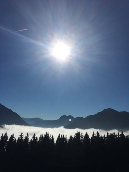
Meine letzten ungefahrenen Strecken am Tegernsee mit zwei Aueralm-Einkehr-Stopps...der reinste Luxus nach einer langen Saison. Einfach drauf los radeln...technisch sehr einfach, ab und zu ein paar steilere Anstiege und eine kurze Schiebepassage, aber ansonsten alles easy zu fahren. Viel Spaß
galéria trás
Mapa trasy a výškový profil
Minimum height 674 m
Maximum height 1333 m
komentáre

Start ab Bad Wiessee oder in Lenggries...wies grad besser passt.
GPS trasy
Trackpoints-
GPX / Garmin Map Source (gpx) download
-
TCX / Garmin Training Center® (tcx) download
-
CRS / Garmin Training Center® (crs) download
-
Google Earth (kml) download
-
G7ToWin (g7t) download
-
TTQV (trk) download
-
Overlay (ovl) download
-
Fugawi (txt) download
-
Kompass (DAV) Track (tk) download
-
list trasy (pdf) download
-
Original file of the author (gpx) download
Add to my favorites
Remove from my favorites
Edit tags
Open track
My score
Rate


