Login

Zabudli ste prihlasovacia meno

Cookies have to be accepted!
Your browser's cookie functionality is disabled. Please enable this functionality.

Not a member yet?

Register now
Login

Available for registred users only

Log in to use this feature.

Zabudli ste prihlasovacia meno

Cookies have to be accepted!
Your browser's cookie functionality is disabled. Please enable this functionality.

Not a member yet?

Register now
Filter
Kategórie
Advanced filters
  • Dĺžka (km)
  • výškomer
Uložiť filter Reset filter

TrackRank

QRCode

Technical data

Dĺžka36,5 km výškomer740 m Way down740 m Doba00:00 h:m dátum17.02.2016
ohodnotenia Author Kraj pôžitok z túry kondícia technika

štatistika

451 náhľady ohodnotenia 49 Stiahnutia priemer
Rate
  • list trasy
  • príjazd
  • Stiahnutia
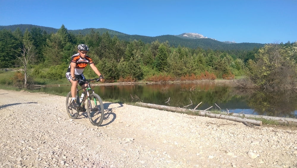
Mountinbiking route on the slopes of Licka Pljesevica mountain with a view toward Korenica valley.

galéria trás

Mapa trasy a výškový profil

  • Open Street Map
  • Google
Minimum height 613 m Maximum height 1021 m Detailný pohľad

More about the tour author

PlitviceActive
Member since 2013

Send private message

komentáre


Route starts and ends in the center of Korenica (control point PJ 01).

Route itinerary (control points numbers): PJ01 - PJ 07 - PJ06 - PJ09 - PJ10 - PJ11 - PJ15 - PJ 16 - PJ 17 - PJ 18 - PJ 19 - PJ 20 - PJ 21 - PJ 33 - PJ 34 - PJ 35 - PJ 36 - PJ37 - PJ 38 - PJ 03 - PJ 02 - PJ01 

GPS trasy

Trackpoints
  • GPX / Garmin Map Source (gpx) download
  • TCX / Garmin Training Center® (tcx) download
  • CRS / Garmin Training Center® (crs) download
  • Google Earth (kml) download
  • G7ToWin (g7t) download
  • TTQV (trk) download
  • Overlay (ovl) download
  • Fugawi (txt) download
  • Kompass (DAV) Track (tk) download
  • list trasy (pdf) download
  • Original file of the author (gpx) download

More about the tour author

PlitviceActive
Member since 2013

Send private message
Share track
Add to my favorites
Remove from my favorites
Edit tags
My score
Rate
trasa: MTB 02 - Obroncima Pljesevice
Druh: horský bicykel
Dĺžka: 36,5 km
Evaluated on:
Doba:
Day(s)
Hour(s)
Minute(s)
ohodnotenie: Kraj pôžitok z túry kondícia technika