Login

Zabudli ste prihlasovacia meno

Cookies have to be accepted!
Your browser's cookie functionality is disabled. Please enable this functionality.

Not a member yet?

Register now
Login

Available for registred users only

Log in to use this feature.

Zabudli ste prihlasovacia meno

Cookies have to be accepted!
Your browser's cookie functionality is disabled. Please enable this functionality.

Not a member yet?

Register now
Filter
Kategórie
Advanced filters
  • Dĺžka (km)
  • výškomer
Uložiť filter Reset filter

TrackRank

QRCode

Technical data

Dĺžka9,5 km výškomer585 m Way down585 m Doba04:15 h:m dátum01.03.2016
ohodnotenia Author Kraj pôžitok z túry kondícia technika

štatistika

729 náhľady ohodnotenia 82 Stiahnutia priemer
Rate
  • list trasy
  • príjazd
  • Stiahnutia

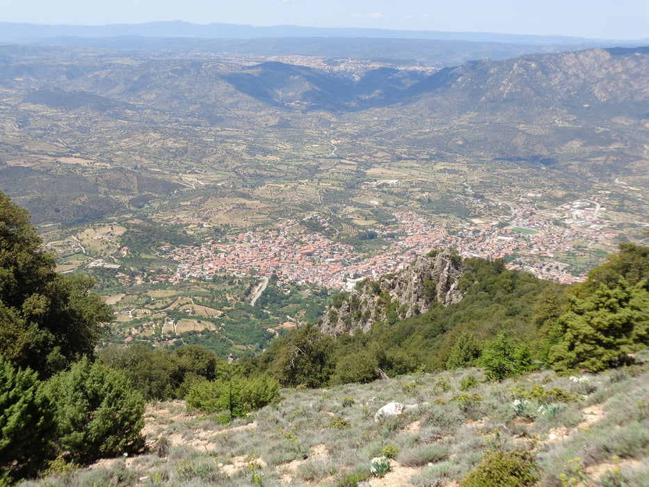
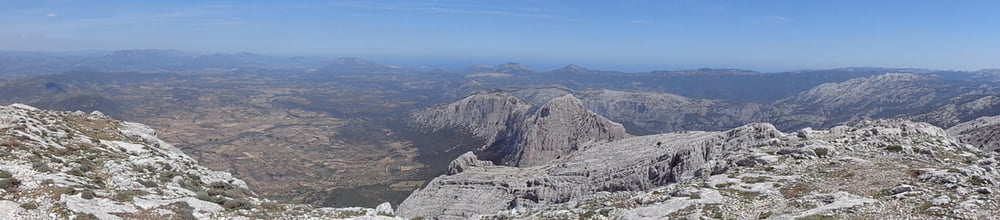
Punta Catirina 1127 Meter.

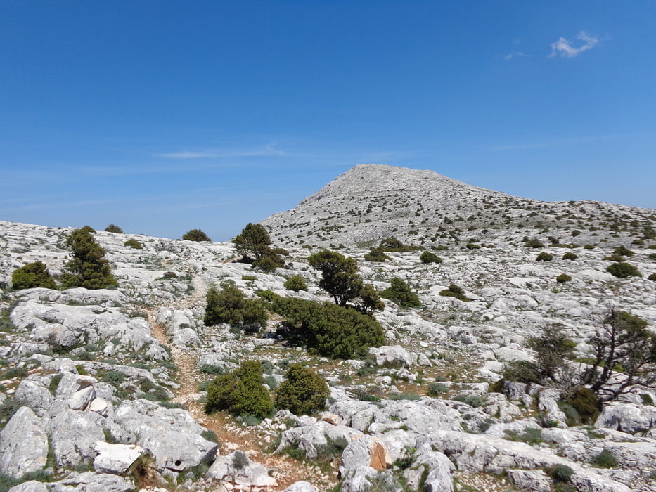
Unberührte Hochebene zwischen steilen Kalkfelsen.
Genaue Beschreibung findet ihr im Rother Sardinien Tour 13


galéria trás

Mapa trasy a výškový profil

  • Open Street Map
  • Google
Minimum height 566 m Maximum height 1138 m Detailný pohľad

More about the tour author

hajob58
Member since 2016

Send private message

komentáre

GPS trasy

Trackpoints
  • GPX / Garmin Map Source (gpx) download
  • TCX / Garmin Training Center® (tcx) download
  • CRS / Garmin Training Center® (crs) download
  • Google Earth (kml) download
  • G7ToWin (g7t) download
  • TTQV (trk) download
  • Overlay (ovl) download
  • Fugawi (txt) download
  • Kompass (DAV) Track (tk) download
  • list trasy (pdf) download
  • Original file of the author (gpx) download

More about the tour author

hajob58
Member since 2016

Send private message
Share track
Add to my favorites
Remove from my favorites
Edit tags
My score
Rate
trasa: Punta Catirina
Druh: trasa
Dĺžka: 9,5 km
Evaluated on:
Doba:
Day(s)
Hour(s)
Minute(s)
ohodnotenie: Kraj pôžitok z túry kondícia technika