Login

Zabudli ste prihlasovacia meno

Cookies have to be accepted!
Your browser's cookie functionality is disabled. Please enable this functionality.

Not a member yet?

Register now
Login

Available for registred users only

Log in to use this feature.

Zabudli ste prihlasovacia meno

Cookies have to be accepted!
Your browser's cookie functionality is disabled. Please enable this functionality.

Not a member yet?

Register now
Filter
Kategórie
Advanced filters
  • Dĺžka (km)
  • výškomer
Uložiť filter Reset filter

TrackRank

QRCode

Technical data

Dĺžka49,7 km výškomer722 m Way down735 m Doba02:50 h:m dátum07.05.2016
ohodnotenia Author Kraj pôžitok z túry kondícia technika

štatistika

264 náhľady ohodnotenia 20 Stiahnutia priemer
Rate
  • list trasy
  • príjazd
  • Stiahnutia

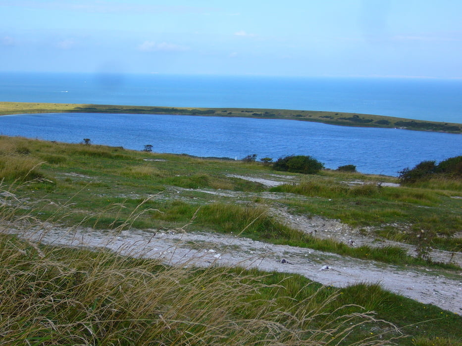
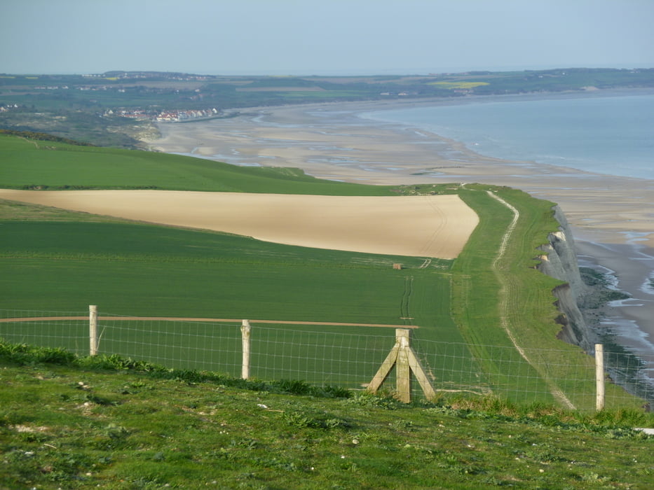
Die Tour startet in Wissant und führt über Trails/Feldwege ins Hinterland richtung Marquise.Dann über den Mount Couple richtung Eurotunel und dann über Blanc Nez wieder nach Wissant. Sind viele Trails und kurze Asphaltsücke schwere Anstiege und schnelle Abfahrten.


galéria trás

Mapa trasy a výškový profil

  • Open Street Map
  • Google
Minimum height 14 m Maximum height 165 m Detailný pohľad

More about the tour author

julem
Member since 2011

Send private message

komentáre

GPS trasy

Trackpoints
  • GPX / Garmin Map Source (gpx) download
  • TCX / Garmin Training Center® (tcx) download
  • CRS / Garmin Training Center® (crs) download
  • Google Earth (kml) download
  • G7ToWin (g7t) download
  • TTQV (trk) download
  • Overlay (ovl) download
  • Fugawi (txt) download
  • Kompass (DAV) Track (tk) download
  • list trasy (pdf) download
  • Original file of the author (gpx) download

More about the tour author

julem
Member since 2011

Send private message
Share track
Add to my favorites
Remove from my favorites
Edit tags
My score
Rate
trasa: Wissant-Marquise-Mount Couple-Blanc Nez
Druh: horský bicykel
Dĺžka: 49,7 km
Evaluated on:
Doba:
Day(s)
Hour(s)
Minute(s)
ohodnotenie: Kraj pôžitok z túry kondícia technika