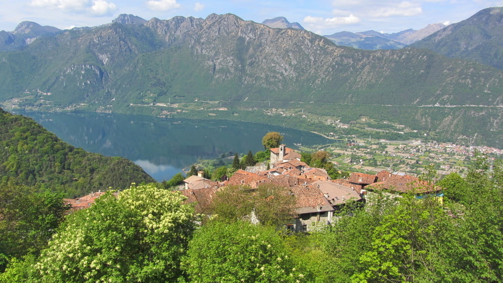
Auffahrt zur Malga Alpo komplett auf Teer, bis Bondone bei ca 10%, danach bei ca 13% Steigung. Dann ca. 3.3 km und 110 Tm auf Forstweg bis Spessa. Jetzt geht’s in den Wanderweg 444, ein relativ schlecht gepflegter S1/S2 Trail, der bei Nar eine kurze Teer-Unterbrechung hat. Im weiteren Verlauf gibt’s noch ein paar recht knackige und auch ausgesetzte Passagen (>S3), an denen wir geschoben haben. Zum Schluss auf dem Radweg zurück an den Idrosee.
Mapa trasy a výškový profil
Minimum height 360 m
Maximum height 1481 m
komentáre

GPS trasy
Trackpoints-
GPX / Garmin Map Source (gpx) download
-
TCX / Garmin Training Center® (tcx) download
-
CRS / Garmin Training Center® (crs) download
-
Google Earth (kml) download
-
G7ToWin (g7t) download
-
TTQV (trk) download
-
Overlay (ovl) download
-
Fugawi (txt) download
-
Kompass (DAV) Track (tk) download
-
list trasy (pdf) download
-
Original file of the author (gpx) download
Add to my favorites
Remove from my favorites
Edit tags
Open track
My score
Rate


