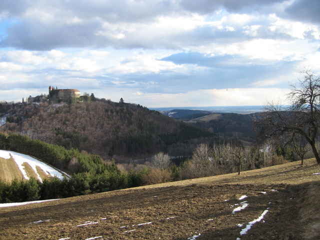
Eine kleine Motorradrundfahrt ca 80min entlang von Nebenfahrbahnen, teilweise Schotterstraßen und einer Bachdurchfahrt.
Schöne idyllische Rundfahrt für alle die nicht nur auf Straßen unterwegs sein wollen.
Schöne idyllische Rundfahrt für alle die nicht nur auf Straßen unterwegs sein wollen.
Mapa trasy a výškový profil
Minimum height 310 m
Maximum height 756 m
komentáre

Ausgehend vom Stadtkern von Oberwart
GPS trasy
Trackpoints-
GPX / Garmin Map Source (gpx) download
-
TCX / Garmin Training Center® (tcx) download
-
CRS / Garmin Training Center® (crs) download
-
Google Earth (kml) download
-
G7ToWin (g7t) download
-
TTQV (trk) download
-
Overlay (ovl) download
-
Fugawi (txt) download
-
Kompass (DAV) Track (tk) download
-
list trasy (pdf) download
-
Original file of the author (gpx) download
Add to my favorites
Remove from my favorites
Edit tags
Open track
My score
Rate


