Login

Zabudli ste prihlasovacia meno

Cookies have to be accepted!
Your browser's cookie functionality is disabled. Please enable this functionality.

Not a member yet?

Register now
Login

Available for registred users only

Log in to use this feature.

Zabudli ste prihlasovacia meno

Cookies have to be accepted!
Your browser's cookie functionality is disabled. Please enable this functionality.

Not a member yet?

Register now
Filter
Kategórie
Advanced filters
  • Dĺžka (km)
  • výškomer
Uložiť filter Reset filter

TrackRank

QRCode

Technical data

Dĺžka15,9 km výškomer709 m Way down711 m Doba03:05 h:m dátum15.05.2016
ohodnotenia Author Kraj pôžitok z túry kondícia technika

štatistika

307 náhľady ohodnotenia 6 Stiahnutia priemer
Rate
  • list trasy
  • príjazd
  • Stiahnutia

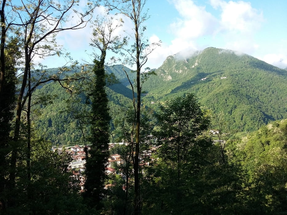
Ottima passeggiata, quasi completamente svolta in zona boschiva su sentieri e viottoli sterrati.

Abbastanza impegnativa sia per il dislivello che per la lunghezza.


Further information at

http://www.comune.torrebelvicino.vi.it/web/torrebelvicino/

galéria trás

Mapa trasy a výškový profil

  • Open Street Map
  • Google
Minimum height 236 m Maximum height 718 m Detailný pohľad

More about the tour author

agosflavio
Member since 2013

Send private message

komentáre

GPS trasy

Trackpoints
  • GPX / Garmin Map Source (gpx) download
  • TCX / Garmin Training Center® (tcx) download
  • CRS / Garmin Training Center® (crs) download
  • Google Earth (kml) download
  • G7ToWin (g7t) download
  • TTQV (trk) download
  • Overlay (ovl) download
  • Fugawi (txt) download
  • Kompass (DAV) Track (tk) download
  • list trasy (pdf) download
  • Original file of the author (gpx) download

More about the tour author

agosflavio
Member since 2013

Send private message
Share track
Add to my favorites
Remove from my favorites
Edit tags
My score
Rate
trasa: Caminada panoramica della Val Leogra Torrebelvicino (VI)
Druh: horská trasa
Dĺžka: 15,9 km
Evaluated on:
Doba:
Day(s)
Hour(s)
Minute(s)
ohodnotenie: Kraj pôžitok z túry kondícia technika