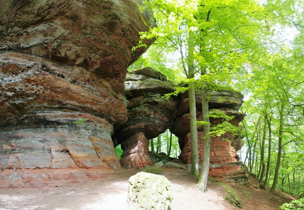
Ich hatte einmal Lust auf das Geratewohl in die Landschaft zu laufen und ich hatte viel Spass.
Vom Parkplatz nahm ich einen Weg auf dem nicht ALLE (Helmut-Kohl-Wanderweg) waren und so passierte ich bald eine Hofstelle und folgte nun einem Forstweg bergan. Irgendwann verließ ich den Weg um eine schöne Aussicht zu geniessen und suchte mir anschließend einen Weg den Hang hinunter an einem tollen Felsen vorbei.
Ich gelangte an die Staatsgrenze zu Frankreich und verfolgte hier den Grenzwanderweg über einen Rücken und dann weiter bis ich die Schlossfelsen erreichte.
Diese langgestreckte Felsformation wird nach Osten hin immer beeindruckender dass ich zum Schluss den Eindruck hatte dass sich diese Formation auch nicht vor den Felsen in Utah verstecken muss.
Ein Schwenk nach Eppenbrunn schloss dann meine kleine Rundwanderung ab.
Schön wars.
Further information at
https://de.wikipedia.org/wiki/Landkreis_S%C3%BCdwestpfalzgaléria trás
Mapa trasy a výškový profil
komentáre

Start auf dem Wanderparkplatz 1km südlich von Eppenbrunn.
GPS trasy
Trackpoints-
GPX / Garmin Map Source (gpx) download
-
TCX / Garmin Training Center® (tcx) download
-
CRS / Garmin Training Center® (crs) download
-
Google Earth (kml) download
-
G7ToWin (g7t) download
-
TTQV (trk) download
-
Overlay (ovl) download
-
Fugawi (txt) download
-
Kompass (DAV) Track (tk) download
-
list trasy (pdf) download
-
Original file of the author (gpx) download

